The National Geologic Map Database is migrating to a new infrastructure. We apologize for any service disruptions during this process.
|
|---|


- Usage in publication:
-
- Twin Spruce Quartz Monzonite*
- Modifications:
-
- Named
- Dominant lithology:
-
- Granite
- Quartz monzonite
- AAPG geologic province:
-
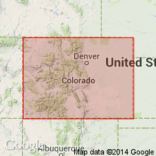
- Southern Rocky Mountain region
Summary:
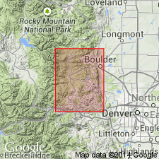
Named for exposures northeast of town of Twin Spruce, Coal Creek Canyon, Eldorado Springs quad, Jefferson Co, CO in the Southern Rocky Mountain region. Type locality is at Lat 39 deg 53 min and Long 105 deg 21 min. Occurs in central part and along southeast edge of Boulder Creek Granodiorite. Is also found in Mount Evans batholith, Rosalie lobe (in Pikes Peak region) and on Rollins Pass. Is fine-grained and more leucocratic than Boulder Creek. Is a gray when fresh and orange brown where weathered. Gneissic structure is common. Ranges from granite to quartz monzonite. Occupies one-fourth of the Boulder Creek batholith area being commonly intermixed with Boulder Creek. Has an isotopic age of 1,710 +/-40 m.y. (Rb-Sr) or Precambrian X.
Source: GNU records (USGS DDS-6; Denver GNULEX).
- Usage in publication:
-
- Twin Spruce Quartz Monzonite*
- Modifications:
-
- Revised
- Overview
- AAPG geologic province:
-
- Southern Rocky Mountain region
Summary:
Is one of nine formally named lithodemic units assigned in the Southern Rocky Mountain region, CO, to Early Proterozoic Routt Plutonic Suite (new name). Is part of Boulder Creek batholith (with Boulder Creek Granodiorite), which occupies an area of 375 Km (sq) or 145 mi (sq) west of the mountain front near Boulder and east of the Front Range an unknown distance beneath sedimentary rocks. Is slightly younger facies, more leucocratic and finer grained than the Boulder Creek.
Source: GNU records (USGS DDS-6; Denver GNULEX).
For more information, please contact Nancy Stamm, Geologic Names Committee Secretary.
Asterisk (*) indicates published by U.S. Geological Survey authors.
"No current usage" (†) implies that a name has been abandoned or has fallen into disuse. Former usage and, if known, replacement name given in parentheses ( ).
Slash (/) indicates name conflicts with nomenclatural guidelines (CSN, 1933; ACSN, 1961, 1970; NACSN, 1983, 2005, 2021). May be explained within brackets ([ ]).