The National Geologic Map Database is migrating to a new infrastructure. We apologize for any service disruptions during this process.
|
|---|


- Usage in publication:
-
- Tununk shale
- Modifications:
-
- Original reference
- Dominant lithology:
-
- Shale
- AAPG geologic province:
-
- Paradox basin
Summary:
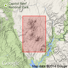
Pg. 4+. Tununk shale. Blue-black argillaceous shale that weathers to a fine gray clay. Thickness 400 feet. Underlies Tununk sandstone and overlies Henrys Fork group in Tununk Plateau. Present in Henry Mountains region, [Wayne, Garfield, and Emery Counties], central southern Utah. Fossiliferous (INOCERAMUS PROBLEMATICUS and BACULITES ANCEPS). Age is Late Cretaceous.
[GNC remark (ca. 1938, US geologic names lexicon, USGS Bull. 896, p. 2196): †Tununk shale in Mancos shale. Tununk shale now treated by the USGS as a part of Mancos shale. Name discarded because of conflict with Tununk sandstone, the adopted name.]
Source: Publication; US geologic names lexicon (USGS Bull. 896, p. 2196).
- Usage in publication:
-
- Tununk Member*
- Modifications:
-
- Areal extent
- AAPG geologic province:
-
- Paradox basin
Summary:
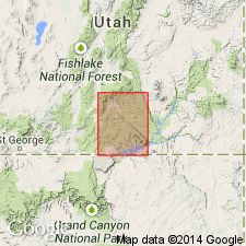
Is basal member (of 5) of Upper Cretaceous Mancos Shale. Mapped only in northeast part of quadrangle, in the Henry basin [Paradox basin], east of Waterpocket fold, Garfield County, Utah. Mapped limit represents the southwest limit for the member. Is 550 to 650 feet thick. Overlies Dakota Sandstone; underlies Ferron Sandstone Member of Mancos. Term "Shale" removed from part of geologic name. Is equivalent to Tropic Shale of Kaiparowits Plateau to southwest in quadrangle.
Source: Modified from GNU records (USGS DDS-6; Denver GNULEX).

- Usage in publication:
-
- Tununk Member*
- Modifications:
-
- Age modified
- AAPG geologic province:
-
- Paradox basin
Summary:
Assigned to the middle Cenomanian to middle Turonian in the Paradox basin.
Source: GNU records (USGS DDS-6; Denver GNULEX).
- Usage in publication:
-
- Tununk Shale Member*
- Modifications:
-
- Areal extent
- Revised
- AAPG geologic province:
-
- Uinta basin
- Uinta uplift
- Green River basin
Summary:
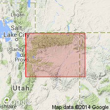
Extended into northeast UT, Uinta basin and Uinta uplift on both sides of the Uinta Mountains, and northwest CO, Greater Green River basin, where it is assigned as a member of the Frontier Formation of the Mancos Group (rank raised). Overlaps eastward the basal sandstone of the Frontier, the unnamed shale unit, and the Mowry Shale (rank raised) of the Mancos Group. Basal contact is sharp where it overlies Mowry. Grades into the younger regressive shallow water marine coastal sandstone of the Frontier. Is continuous with the Tununk Member of the Mancos Shale of the Castle Valley and Wasatch Plateau, UT. Is 50 to 150+ ft thick in report area. Is of late middle Turonian age where it rests on the Mowry. Ranges into the late Turonian eastward in CO. Cross sections. Foram and ammonite fossils listed.
Source: GNU records (USGS DDS-6; Denver GNULEX).
- Usage in publication:
-
- Tununk Member*
- Modifications:
-
- Revised
- AAPG geologic province:
-
- Uinta basin
- Paradox basin
Summary:
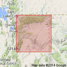
May overlie Dakota Sandstone, Cedar Mountain Formation, or an unnamed shale of Mancos Group, depending on the locality. Base of Tununk is a regional unconformity except where it overlies Dakota. Tununk-Cedar Mountain contact marked by a change from gray-green bentonitic mudstone (Cedar Mountain) to gray shale (Tununk). At many places, a sandstone or conglomerate present in uppermost Dakota or uppermost Cedar Mountain. On south side of Uinta basin east of Farnham dome, Emery Co, Paradox basin, UT, Tununk as basal member of Mancos can be divided into a lower part and an upper part separated by Coon Spring Sandstone Bed (new). Tununk underlies Juana Lopez Member, a resistant cuesta-forming member of Mancos. Tununk underlies and intertongues with Ferron Sandstone Member of Mancos, northwest part of south side of basin. Lower part consists of 100-200 ft of mudstone, shale, siltstone. Oyster of late Cenomanian age found at base. Overlying Coon Spring has an early middle Turonian ammonite. Coon Spring is very fine to fine grained sandstone 75 ft thick that is bioturbated and silty in lower part, and except for upper part is friable and slope-forming. Has large concretions in upper part of bed. Upper part of Tununk about 130 ft thick, slope-forming, argillaceous, very fine grained sandstone that grades upward to silty shale; has one bentonite. Late middle Turonian ammonite found near base of upper part. Nomenclature chart. Cross sections.
Source: GNU records (USGS DDS-6; Denver GNULEX).
For more information, please contact Nancy Stamm, Geologic Names Committee Secretary.
Asterisk (*) indicates published by U.S. Geological Survey authors.
"No current usage" (†) implies that a name has been abandoned or has fallen into disuse. Former usage and, if known, replacement name given in parentheses ( ).
Slash (/) indicates name conflicts with nomenclatural guidelines (CSN, 1933; ACSN, 1961, 1970; NACSN, 1983, 2005, 2021). May be explained within brackets ([ ]).