- Usage in publication:
-
- Trippe limestone*
- Modifications:
-
- Named
- Dominant lithology:
-
- Limestone
- AAPG geologic province:
-
- Great Basin province
Summary:
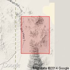
Named for exposures in Trippe Gulch, south side of North Pass Canyon, T9S, R18W, Deep Creek Mountains, Gold Hill quad, Tooele Co, UT in the Great Basin province. No type locality designated. Composed of thin-bedded shale-mottled limestones, some massive limestone beds, a few dark dolomite layers, and some white dolomite and limestone. Most beds seem to be lenticular. Averages 725 ft thick. No fossils found. Overlies Young Peak dolomite (new). Underlies Lamb dolomite (new). Of Middle Cambrian age.
Source: GNU records (USGS DDS-6; Denver GNULEX).
- Usage in publication:
-
- Trippe limestone*
- Modifications:
-
- Overview
- AAPG geologic province:
-
- Great Basin province
Summary:
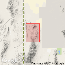
Trippe limestone is recognized in the Deep Creek Mountains [Tooele Co, UT] but not on Dutch Mountain. Mottled limestone makes up the bulk of the formation; dark-gray, massive, textureless dolomite beds also occur; most striking parts are finely laminated white or cream-colored limestone or dolomite beds. Measured section in Dry Canyon, Deep Creek Mountains is 745 ft thick. Age is Middle Cambrian on the basis of lithologic similarity to the underlying mottled limestones and the break between it and the overlying Lamb dolomite, which is believed to be of Late Cambrian age.
Source: GNU records (USGS DDS-6; Menlo GNULEX).
- Usage in publication:
-
- Trippe Limestone*
- Modifications:
-
- Areal extent
- AAPG geologic province:
-
- Great Basin province
Summary:
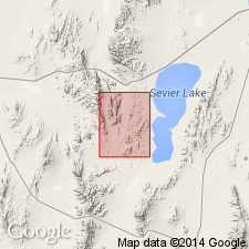
Trippe Limestone is geographically extended into The Barn 15' quad, Millard Co, UT. Age is Cambrian.
Source: GNU records (USGS DDS-6; Menlo GNULEX).
- Usage in publication:
-
- Trippe Limestone
- Modifications:
-
- Revised
- Areal extent
- AAPG geologic province:
-
- Great Basin province
Summary:
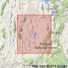
Revised in that unit is divided into unnamed lower member and newly named Fish Springs Member in upper part. Trippe extended from Deep Creek Range into northern and southern (not central) House, Wah Wah and Cricket Ranges in west-central UT, Great Basin province. Conformably overlies Pierson Cove Formation (new); underlies Wah Wah Summit Formation (new). Assigned to upper part of trilobite BOLASPIDELLA Zone (upper Middle Cambrian).
Source: GNU records (USGS DDS-6; Denver GNULEX).
- Usage in publication:
-
- Trippe Limestone*
- Modifications:
-
- Revised
- AAPG geologic province:
-
- Great Basin province
Summary:
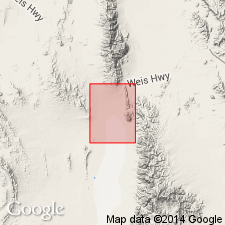
Trippe Limestone (unnamed lower member and Fish Springs Member) as revised by Hintze and Robison (1975) is adopted. Age is Middle Cambrian.
Source: GNU records (USGS DDS-6; Menlo GNULEX).
- Usage in publication:
-
- Trippe Limestone*
- Modifications:
-
- Areal extent
- AAPG geologic province:
-
- Great Basin province
Summary:
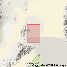
Trippe Limestone is geographically extended into the Silver Island Mountains and Crater Island. Age is Middle Cambrian.
Source: GNU records (USGS DDS-6; Menlo GNULEX).
For more information, please contact Nancy Stamm, Geologic Names Committee Secretary.
Asterisk (*) indicates published by U.S. Geological Survey authors.
"No current usage" (†) implies that a name has been abandoned or has fallen into disuse. Former usage and, if known, replacement name given in parentheses ( ).
Slash (/) indicates name conflicts with nomenclatural guidelines (CSN, 1933; ACSN, 1961, 1970; NACSN, 1983, 2005, 2021). May be explained within brackets ([ ]).

