

- Usage in publication:
-
- Trancas Formation*
- Modifications:
-
- Named
- Dominant lithology:
-
- Sandstone
- Mudstone
- Shale
- AAPG geologic province:
-
- Transverse Ranges province
Summary:
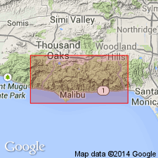
Type locality designated as exposures near mouth of Trancas Canyon, Santa Monica Mountains, southwest Point Dune quad, Los Angeles Co, CA. Consists of sandstone, mudstone, claystone, shale, and sedimentary breccia. Is intensely folded and faulted. Marine deposits are locally fossiliferous. Is 290 m thick. Base not exposed in mapped area. Inferred to unconformably overlie Catalina Schist; intertongues with Zuma Volcanics (new). Unconformably underlies and intertongues with Monterey Shale. Is early and middle Miocene age.
Source: GNU records (USGS DDS-6; Menlo GNULEX).
For more information, please contact Nancy Stamm, Geologic Names Committee Secretary.
Asterisk (*) indicates published by U.S. Geological Survey authors.
"No current usage" (†) implies that a name has been abandoned or has fallen into disuse. Former usage and, if known, replacement name given in parentheses ( ).
Slash (/) indicates name conflicts with nomenclatural guidelines (CSN, 1933; ACSN, 1961, 1970; NACSN, 1983, 2005, 2021). May be explained within brackets ([ ]).