- Usage in publication:
-
- Trail Creek formation*
- Modifications:
-
- Named
- Dominant lithology:
-
- Quartzite
- Sandstone
- AAPG geologic province:
-
- Snake River basin
Summary:
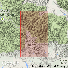
Named for small area of exposures on west side of upper portion of Trail Creek, Blaine Co, ID in the Snake River basin. No type locality designated. Consists of siliceous quartzite and quartzitic sandstone 500 ft thick. Is in contact with the Ordovician Phi Kappa formation (new). Is in fault contact with the Devonian? and Mississippian Milligen formation (new). Has a Silurian or early Wenlock graptolite fauna in the basal 60 ft. Fossils listed. Geologic map. Columnar section. Assigned to the Silurian.
Source: GNU records (USGS DDS-6; Denver GNULEX).
- Usage in publication:
-
- Trail Creek formation*
- Modifications:
-
- Revised
- Overview
- AAPG geologic province:
-
- Idaho Mountains province
Summary:
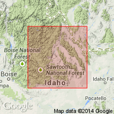
Exposures along Trail Creek called type locality of formation. Recognized in the central part of the Bayhorse quad, Custer Co, ID in the Idaho Mountains province along Trail Creek and in Malon Gulch [north of Clayton in Custer Co]. Is younger than the newly named Upper Ordovician Saturday Mountain formation and older than the Silurian Laketown dolomite which is recognized for the first time in central ID. Is mainly a brown-gray calcareous argillite that breaks into thin slabs parallel to bedding and chert lenses of limited areal extent. Consists of calcite, quartz, plagioclase, and lesser amounts of organic matter, muscovite, and apatite. About 500 ft thick. Graptolite fauna of Wenlock, Silurian age found in basal 60 ft. Fossils listed. Correlation chart.
Source: GNU records (USGS DDS-6; Denver GNULEX).
- Usage in publication:
-
- Trail Creek Formation
- Modifications:
-
- Areal extent
- AAPG geologic province:
-
- Idaho Mountains province
Summary:
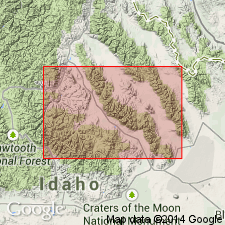
Name used in quotation marks. Is similar to underlying Phi Kappa Formation, their contact being paleontologically defined. Author believes name does not deserve formational status. Used mostly in "type area," Malm Gulch, Custer Co, ID in the Idaho Mountains province. Of Silurian, Wenlockian and younger, age. Correlation chart. Block diagram. Cross sections.
Source: GNU records (USGS DDS-6; Denver GNULEX).
- Usage in publication:
-
- Trail Creek Formation*
- Modifications:
-
- Revised
- AAPG geologic province:
-
- Idaho Mountains province
- Snake River basin
Summary:
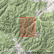
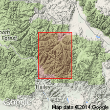
Restricted in the Pioneer Mountains, Custer Co, Idaho Mountains province and Blaine Co, Snake River basin, ID, to buff-weathering, dark to light banded, thinly interbedded siliceous argillite, metasiltstone, and very fine grained quartzite. Light layers have less disseminated carbon than the dark layers, have a grain size ranging from silt to very fine sand, and contain as much as 50 percent anhedral tremolite. Banding is 1-5 cm per band and locally irregular. Trail Creek is the principal reference section. Lower contact with Phi Kappa Formation modified; a 25+ m thick unit of black to dark-gray, thin-bedded, cherty argillite with thin partings of black, siliceous, graptolitic shale formerly considered basal Trail Creek is reassigned to the Phi Kappa; this contact change coincides with change in weathering color and change from cliff-forming Trail Creek to slope-forming, revised Phi Kappa. Top of Trail Creek is faulted throughout region. Thicknesses for formation not reliable. Unnamed Devonian and Silurian unit is the next younger mapped unit. No fossils found. Considered to be Wenlockian or Middle Silurian or younger. Geologic map.
Source: GNU records (USGS DDS-6; Denver GNULEX).
- Usage in publication:
-
- Trail Creek Formation*
- Modifications:
-
- Overview
- AAPG geologic province:
-
- Idaho Mountains province
Summary:
Mapped in western part of study area in Blaine and Custer Cos, ID, Snake River basin and Idaho Mountains province. Consists of dull-weathering, dark- and light-banded, thinly interbedded siliceous argillite, metasiltstone, and very fine-grained quartzite. Dark siliceous argillite layers are extensively recrystallized; light dolomitic siltstone layers contain up to 50% tremolite. Minimum thickness is 100 m. Upper contact is faulted; older than Milligen Formation and unnamed Devonian and Silurian rocks. Lower contact is gradational with underlying Phi Kappa Formation. Middle Silurian age inferred from Wenlockian graptolites about 2 m below base in underlying Phi Kappa.
Source: GNU records (USGS DDS-6; Denver GNULEX).
For more information, please contact Nancy Stamm, Geologic Names Committee Secretary.
Asterisk (*) indicates published by U.S. Geological Survey authors.
"No current usage" (†) implies that a name has been abandoned or has fallen into disuse. Former usage and, if known, replacement name given in parentheses ( ).
Slash (/) indicates name conflicts with nomenclatural guidelines (CSN, 1933; ACSN, 1961, 1970; NACSN, 1983, 2005, 2021). May be explained within brackets ([ ]).

