The National Geologic Map Database is migrating to a new infrastructure. We apologize for any service disruptions during this process.
|
|---|


- Usage in publication:
-
- Tracy Creek andesite*
- Modifications:
-
- Original reference
- Dominant lithology:
-
- Breccia
- Andesite
- AAPG geologic province:
-
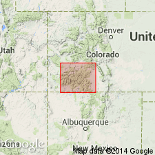
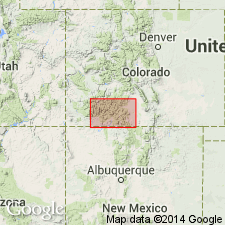
- San Luis basin
Summary:
[Credited to Larsen.] Tracy Creek andesite. Flows and subordinate tuff-breccia, in part andesite but chiefly tridymite dacite. In upper drainage of Tracy Creek and to northern lowest member is dense dark-gray platy andesite. To north this member consists of a number of flows with some breccia of tridymite dacite. Occurs in [Saguache County], southwestern Colorado, in extreme southern part of Saguache quadrangle but extends a short distance into Del Norte quadrangle and makes up much of drainage of Tracy Creek, for which it is named. Underlies Conejos andesite. Overlies Beidell latite-andesite irregularly. Is of pre-Potosi age. Assigned to Miocene(?).
Source: US geologic names lexicon (USGS Bull. 896, p. 2174-2175).
- Usage in publication:
-
- Tracy Creek Quartz Latite*
- Modifications:
-
- Age modified
- AAPG geologic province:
-
- San Juan Mountains province
Summary:
Age changed from Oligocene --to-- Oligocene and older(?).
Source: Changes in stratigraphic nomenclature, 1974 (USGS Bull. 1405-A, p. A22-A23).
For more information, please contact Nancy Stamm, Geologic Names Committee Secretary.
Asterisk (*) indicates published by U.S. Geological Survey authors.
"No current usage" (†) implies that a name has been abandoned or has fallen into disuse. Former usage and, if known, replacement name given in parentheses ( ).
Slash (/) indicates name conflicts with nomenclatural guidelines (CSN, 1933; ACSN, 1961, 1970; NACSN, 1983, 2005, 2021). May be explained within brackets ([ ]).