The National Geologic Map Database is migrating to a new infrastructure. We apologize for any service disruptions during this process.
|
|---|


- Usage in publication:
-
- Totatlanika schist*
- Modifications:
-
- Named
- Dominant lithology:
-
- Schist
- Gneiss
- AAPG geologic province:
-
- Alaska East-Central region
- Alaska Southern region
Summary:
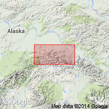
Shown on geologic reconnaissance map of Bonnifield region, AK. Composed of a series of quartz-feldspar schists and gneisses which form much of foothill ranges of Bonnifield region and parts of higher mountains to south between Nenana and Delta Rivers, and probably occur west of Nenana River. Thickness probably greater than 915 m. Overlies Birch Creek schist. Underlies unnamed sands, clays and gravels, or Nenana gravel. Age is provisionally assigned Silurian or Early Devonian.
Source: GNU records (USGS DDS-6; Menlo GNULEX).
- Usage in publication:
-
- Totatlanika Schist*
- Modifications:
-
- Revised
- Age modified
- AAPG geologic province:
-
- Alaska East-Central region
- Alaska Southern region
Summary:
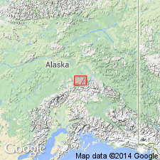
Type locality mentioned as canyon of Totatlanika River, central AK. Totatlanika Schist of Capps (1912) is divided into five members (ascending): Moose Creek, California Creek, Chute Creek, Mystic Creek, Sheep Creek Members (all new). Formation is stratigraphically restricted to exclude underlying quartz-sericite schists and stretched conglomerate of Keevy Peak Formation (new). Age revised to Mississippian(?) based on biostratigraphic dating of fossils identified as SYRINGOPORA collected from Mystic Creek Member (Wahrhaftig, 1958).
Source: GNU records (USGS DDS-6; Menlo GNULEX).
- Usage in publication:
-
- Totatlanika Schist*
- Modifications:
-
- Age modified
- Mapped
- AAPG geologic province:
-
- Alaska East-Central region
- Alaska Southern region
Summary:
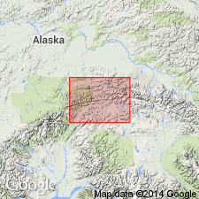
Age modified from Mississippian(?) to: Middle Devonian to Early Mississippian based on stratigraphic correlations, and biostratigraphic dating of corals and conodonts.
Source: GNU records (USGS DDS-6; Menlo GNULEX).
For more information, please contact Nancy Stamm, Geologic Names Committee Secretary.
Asterisk (*) indicates published by U.S. Geological Survey authors.
"No current usage" (†) implies that a name has been abandoned or has fallen into disuse. Former usage and, if known, replacement name given in parentheses ( ).
Slash (/) indicates name conflicts with nomenclatural guidelines (CSN, 1933; ACSN, 1961, 1970; NACSN, 1983, 2005, 2021). May be explained within brackets ([ ]).