- Usage in publication:
-
- Topache limestone*
- Modifications:
-
- Named
- Dominant lithology:
-
- Limestone
- Shale
- AAPG geologic province:
-
- Great Basin province
Summary:
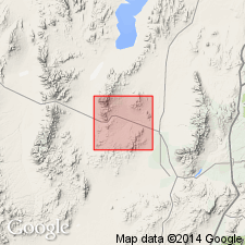
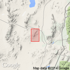
Named for Topache Peak, T28S, R11W, Beaver Co, UT in the Great Basin province. No type locality designated. Covers an area of about 2 1/2 sq mi in southeast part of map area. Also mapped in Beaver Mountains and north of West Spring in northeast part of map area. Geologic map. Conformably overlies Mowitza shale (new) of Devonian age. Conformably underlies Talisman quartzite (new) of Pennsylvanian? age. Divided into lower beds of heavy-bedded blue dolomitic limestone and some shaly limestone, siliceous and cherty beds, and upper blue limestone and a few shaly beds. About 1,500 ft thick. Fossils (listed) include brachiopods, crinoids, corals. Assigned to the Mississippian.
Source: GNU records (USGS DDS-6; Denver GNULEX).

- Usage in publication:
-
- Topache Limestone
- Modifications:
-
- Not used
Summary:
Not used in this report. Rocks assigned by Butler (1913) to Topache Limestone in this area are reassigned to the Redwall Limestone (formerly the lower part of the Topache) and to the Callville Limestone (formerly the upper part of the Topache).
Source: GNU records (USGS DDS-6; Denver GNULEX).

- Usage in publication:
-
- Topache Limestone*†
- Modifications:
-
- Abandoned
Summary:
Abandoned. Rocks formerly assigned to Topache Limestone are reassigned to the Devonian and Mississippian Fitchville Formation, Gardison and Deseret Limestones, and Humbug Formation.
Source: GNU records (USGS DDS-6; Denver GNULEX).
For more information, please contact Nancy Stamm, Geologic Names Committee Secretary.
Asterisk (*) indicates published by U.S. Geological Survey authors.
"No current usage" (†) implies that a name has been abandoned or has fallen into disuse. Former usage and, if known, replacement name given in parentheses ( ).
Slash (/) indicates name conflicts with nomenclatural guidelines (CSN, 1933; ACSN, 1961, 1970; NACSN, 1983, 2005, 2021). May be explained within brackets ([ ]).

