- Usage in publication:
-
- Tiskilwa Till Member
- Modifications:
-
- Original reference
- AAPG geologic province:
-
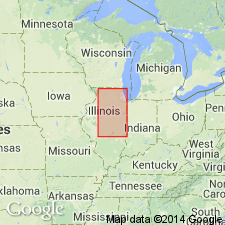
- Illinois basin
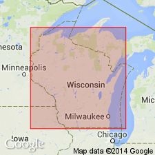
- Wisconsin arch
Summary:
Pg. 68-69. Tiskilwa Till Member of Wedron Formation. Recognized at surface and in subsurface of northern and central Illinois, and locally in southern Wisconsin. At type section is a 4-foot-thick pinkish tan, massive, calcareous sandy till with abundant cobbles and small boulders. Overlain by gravel and sand [of Henry Formation]; underlying unit not observed. (See Frye and others, 1968, Illinois Geol. Survey Circ., no. 427, p. 20, Buda East section, unit 1.) At Wedron type section the Tiskilwa is 15 feet thick, lies below Malden Till Member (new) and above Lee Center Till Member. (See also Frye and others, 1968, USGS Bull. 1274-E, p. E16-E17, Wedron section, unit 5, informal Bloomington till.) Beneath Bloomington morainic system, thickness up to 150 feet. Interpreted as having been deposited by glaciers of Peoria, Princeton, and Harvard Sublobes of Lake Michigan Lobe during the early part of the Woodfordian. Age is Pleistocene (Wisconsinan; Woodfordian).
Type section: Buda East section, roadcut 5 mi (8 km) northwest of Tiskilwa, IL, in SE/4 SE/4 SW/4 sec. 31, T. 16 N., R. 8 E., [approx. Lat. 41 deg. 19 min. 20 sec. N., Long. 89 deg. 37 min. 00 sec. W.], Buda 15-min quadrangle, Bureau Co., western northern IL.
Named from Tiskilwa, Bureau Co., western northern IL.
Wedron Formation type section (p. 190-191) in overburden of Wedron Silica Company Pit No. 1, in SE/4 SW/4 sec. 9, T. 34 N., R. 4 E., La Salle Co., northern IL.
Source: Publication; US geologic names lexicon (USGS Bull. 1520, p. 309).

- Usage in publication:
-
- Tiskilwa Member
- Modifications:
-
- Reference
- Revised
- AAPG geologic province:
-
- Wisconsin arch
Summary:
Pg. 4 (table 1); App., p. A6-5 to A6-7. Tiskilwa Member of Zenda Formation. Willman and Frye's (1970) Tiskilwa Till Member of Winnebago Formation, of northern and central Illinois, is extended into southern Wisconsin as the upper member of Zenda Formation (new). Consists of pinkish brown and gray till. Exposed locally in southwestern Walworth County. Overlies Allens Grove Member (new) of Walworth Formation (new) [=Argyle Till Member of Winnebago Formation in Illinois] with sharp contact. Age is Pleistocene (Wisconsinan).
Reference section (=Zenda Formation type section): roadcut on south side of County Trunk Highway B, east of its intersection with Hillside Road, 1.1 mi (1.8 km) northeast of the locality of Zenda, in NW/4 NW/4 SW/4 sec. 26, T. 1 N., R. 17 E., [approx. Lat. 42 deg. 30 min. 58 sec. N., Long. 88 deg. 27 min. 42 sec. W.], Lake Geneva 7.5-min quadrangle, Walworth Co., southeastern WI.
[Additional locality information from Syverson and others, 2011, Wisconsin lexicon of Pleistocene units, Wisconsin Geol. Nat. Hist. Survey Tech. Rpt., no. 1; supplemented from USGS historical topographic map collection TopoView and Wisconsin Highways www.wisconsinhighways.org, accessed on June 9, 2018.]
Source: Publication.
For more information, please contact Nancy Stamm, Geologic Names Committee Secretary.
Asterisk (*) indicates published by U.S. Geological Survey authors.
"No current usage" (†) implies that a name has been abandoned or has fallen into disuse. Former usage and, if known, replacement name given in parentheses ( ).
Slash (/) indicates name conflicts with nomenclatural guidelines (CSN, 1933; ACSN, 1961, 1970; NACSN, 1983, 2005, 2021). May be explained within brackets ([ ]).

