

- Usage in publication:
-
- Thursday dolomite*
- Modifications:
-
- Named
- Dominant lithology:
-
- Dolomite
- AAPG geologic province:
-
- Great Basin province
Summary:
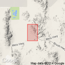
Named for outcrops at Thursday mine, northern half Spors Mountain, Juab Co, UT in the Great Basin province. Only known and complete section, designated the type section, crops out on west side of Spors Mountain 4,200 ft west-southwest of Thursday mine. No description of type given. Two partial measured sections given at: 1) 1,200 ft northeast of Thursday mine in sec 21, T12S, R12W; and 2) west of Blowout mine in sec 21, T12S, R12W. Composite thickness 329 ft. Overlies Lost Sheep dolomite (new). Is younger than Sevy dolomite. Is a light-gray, medium-grained, friable dolomite. Brown chert found in several beds. Is partly silicified. Stromatoporoids and corals found. Middle Silurian age suggested. Geologic map. Stratigraphic sections.
Source: GNU records (USGS DDS-6; Denver GNULEX).
- Usage in publication:
-
- Thursday dolomite*
- Modifications:
-
- Overview
- AAPG geologic province:
-
- Great Basin province
Summary:
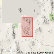
Mapped (geologic map) on Spor Mountain, on Eagle Rock Ridge, and in Dugway Range in Fandangle Canyon, on north, west, and southwest of peak 6,830, and southwest of Castle Mountain. Thickness estimated at 300 ft. Is a uniform, light-gray, medium-grained, saccharoidal, slope-making dolomite. Resembles parts of underlying Lost Sheep dolomite. Basal contact placed at top of highest cherty beds of Lost Sheep. Upper contact placed at base of fine-grained, dense, light-gray dolomite of Sevy dolomite. Is poorly fossiliferous. HALYSITES collections of Middle Silurian age identified.
Source: GNU records (USGS DDS-6; Denver GNULEX).
- Usage in publication:
-
- Thursday Member*
- Modifications:
-
- Revised
- AAPG geologic province:
-
- Great Basin province
Summary:
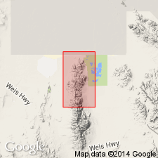
Reduced in rank and assigned as uppermost of four members of Laketown Dolomite in Fish Springs Range, Juab Co, UT, Great Basin province. Overlies Lost Sheep Member (rank reduced) of Laketown; underlies [unconformably] Sevy Dolomite. Middle Silurian age.
Source: GNU records (USGS DDS-6; Denver GNULEX).
For more information, please contact Nancy Stamm, Geologic Names Committee Secretary.
Asterisk (*) indicates published by U.S. Geological Survey authors.
"No current usage" (†) implies that a name has been abandoned or has fallen into disuse. Former usage and, if known, replacement name given in parentheses ( ).
Slash (/) indicates name conflicts with nomenclatural guidelines (CSN, 1933; ACSN, 1961, 1970; NACSN, 1983, 2005, 2021). May be explained within brackets ([ ]).