- Usage in publication:
-
- Tenney Canyon tongue*
- Modifications:
-
- First used
- Dominant lithology:
-
- Siltstone
- Sandstone
- Mudstone
- AAPG geologic province:
-
- Plateau sedimentary province
Summary:
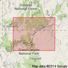
First published use of Tenney Canyon tongue of Kayenta formation of Glen Canyon group. [Name attributed to Wilson (in press) but that paper was never published.] No type locality designated. Source of name not stated. Name applied in Kanab area, Kane Co, UT in the Plateau sedimentary province, to rocks previously just assigned to Kayenta. Consists of very thin bedded to laminated, pale-reddish-brown siltstone, mudstone, and very fine grained sandstone. Some cross bedding; crossbed sets are lenticular and they are small to medium scale low angle. Thought to be of fluvial origin. Is 120 ft thick in Kanab Canyon; thins eastward and pinches out between units of Navajo sandstone west of Paria, Kane Co; thickens southwest of Kanab to 172 ft at Moki Mountains and 220 ft near Moccasin, Coconino Co, AZ. Coalesces with main body of Kayenta west of Sevier fault. Contacts with underlying Lamb Point tongue (first used) of Navajo and overlying Navajo are sharply marked by change in color, lithology and cross-bedding. Jurassic? age assigned. [No stratigraphic figures.]
Source: GNU records (USGS DDS-6; Denver GNULEX).

- Usage in publication:
-
- Tenney Canyon tongue*
- Modifications:
-
- Overview
- AAPG geologic province:
-
- Plateau sedimentary province
Summary:
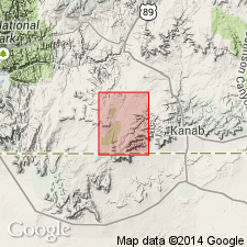
Tenney Canyon tongue, upper tongue of Kayenta formation, mapped along east side of quad, Kane Co, UT and into Mohave Co, AZ in the Plateau sedimentary province. Tongue overlies Lamb Point tongue of Navajo sandstone and underlies main massive sandstone of the Navajo. Assigned a Jurassic? age. [Mapped also in MI-137.]
Source: GNU records (USGS DDS-6; Denver GNULEX).

- Usage in publication:
-
- Tenney Canyon Tongue*
- Modifications:
-
- Age modified
- AAPG geologic province:
-
- Plateau sedimentary province
Summary:
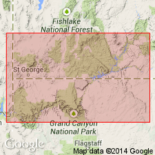
Age of Kayenta Formation of the Glen Canyon Group shown on a stratigraphic diagram as Sinemurian, Pliensbachian, and Toarcian, or Early Jurassic rather than as Jurassic? as previously assigned. Age modification of Kayenta and hence of Tenney Canyon as a tongue of the Kayenta based on identification of Early Jurassic palynomorphs in older Whitmore Point Member of the Moenave Formation. [Age of Tenney Canyon, though name not used in this report, must also be Early Jurassic. Tenney Canyon used locally in the Kanab area of Kane Co, UT in the Plateau sedimentary province.]
Source: GNU records (USGS DDS-6; Denver GNULEX).
For more information, please contact Nancy Stamm, Geologic Names Committee Secretary.
Asterisk (*) indicates published by U.S. Geological Survey authors.
"No current usage" (†) implies that a name has been abandoned or has fallen into disuse. Former usage and, if known, replacement name given in parentheses ( ).
Slash (/) indicates name conflicts with nomenclatural guidelines (CSN, 1933; ACSN, 1961, 1970; NACSN, 1983, 2005, 2021). May be explained within brackets ([ ]).

