The National Geologic Map Database is migrating to a new infrastructure. We apologize for any service disruptions during this process.
|
|---|


- Usage in publication:
-
- Tennessee Mountain Formation
- Modifications:
-
- Named
- Biostratigraphic dating
- Dominant lithology:
-
- Limestone
- Phyllite
- AAPG geologic province:
-
- Great Basin province
Summary:
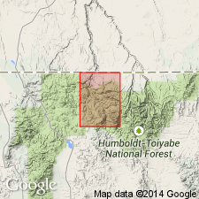
Pg. 6 (table 1), 8-9, pl. 1 (geol. map). Tennessee Mountain Formation. Described in Rowland quadrangle, Elko County, northern Nevada. Argillaceous rocks are dominant along southern exposures of formation; thinly bedded limestone dominant along northern exposures. Typically the limestone consists of thin beds (0.5 to 1.5 cm thick) of medium-gray, light-gray weathering, aphanitic limestone and yellowish-gray or light-brown weathering, silty limestone separated by very thin phyllite laminae. Thin phyllite beds, 10 to 15 feet thick, are locally interbedded with the limestone. Estimated thickness about 5,000 feet of phyllite and 5,000 to 7,000 feet of limestone. Width of outcrop area perpendicular to the general strike is about 3 to 4 miles. Formation is tightly folded, faulted, cut by cleavage, and slightly to highly metamorphosed. Discordant with all surrounding units. Normal faults separate it from Prospect Mountain(?) Quartzite to east; Sunflower Formation and Cenozoic volcanic rocks and alluvium unconformably overlie it to south and west, respectively; cut off on north by a granitic stock. Metamorphism of argillaceous limestone to tactite occurs at contact with granitic stock. Tactite contains scheelite, a tungsten mineral. Main structural trends of formation range from N. 60 deg. E., in southern exposures, to north-south in northern exposures. Age is tentatively Cambrian or Ordovician, based on stratigraphic position and fossils (brachiopods, from the adjacent Mountain City 15-min quadrangle, identified by A.R. Palmer). Report includes geologic map; cross section. First used in unpublished thesis by Coash (1954).
Type section: on Tennessee Mountain where a typical sequence can be observed northeastward from Sunflower Reservoir, across Waterlog Summit, east of Slate Creek, to Tennessee Mountain, Elko Co., NV.
Source: US geologic names lexicon (USGS Bull. 1350, p. 752-753); GNU records (USGS DDS-6; Menlo GNULEX, Denver GNULEX).
- Usage in publication:
-
- Tennessee Mountain Formation
- Modifications:
-
- Areal extent
- AAPG geologic province:
-
- Great Basin province
Summary:
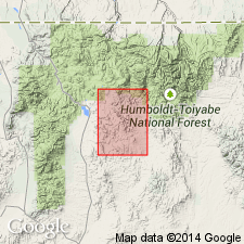
Pg. 5 (table 1), 7. Tennessee Mountain Formation. Name applied to a thick sequence of highly deformed, interbedded limestone and argillaceous rocks on southwest flank of Tennessee Mountain in Rowland quadrangle, Elko Co., northern Nevada. Does not crop out in area of this report [Mount Velma quadrangle].
Source: US geologic names lexicon (USGS Bull. 1350, p. 752-753).
For more information, please contact Nancy Stamm, Geologic Names Committee Secretary.
Asterisk (*) indicates published by U.S. Geological Survey authors.
"No current usage" (†) implies that a name has been abandoned or has fallen into disuse. Former usage and, if known, replacement name given in parentheses ( ).
Slash (/) indicates name conflicts with nomenclatural guidelines (CSN, 1933; ACSN, 1961, 1970; NACSN, 1983, 2005, 2021). May be explained within brackets ([ ]).