- Usage in publication:
-
- Teneriffe Silt
- Modifications:
-
- Named
- Dominant lithology:
-
- Silt
- Sand
- Clay
- AAPG geologic province:
-
- Illinois basin
Summary:
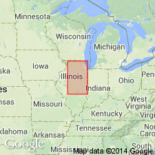
Is formation named for Teneriffe School, 2.5 mi northeast of New Salem, Pike Co, IL (Illinois basin). Type section described from roadcuts 3/4 mi southwest of Teneriffe School, NW NE SW sec 11, T4S, R4W. In type area, rests on Pike Soil (new) developed in Kellerville Till Member (new) of Glasford Formation (new) (Liman Substage, Illinoian Stage), and upper boundary is the top of the Sangamon Soil, developed in the silts; is overlain by Roxana Silt. Is not used beyond the limit of Illinoian glaciation, as beyond this limit comparable deposits are included in Loveland Silt. Is 5 ft thick at type. Is largely silt, but contains beds of sand and clay; is generally leached, because it contains Sangamon Soil in the top, but is calcareous in lower part where thick; is massive and ranges from gray to tan-brown. Includes deposits that range from latest Liman Substage through Monican and Jubileean Substages of Illinoian Stage (Pleistocene). May contain both retreating and advancing outwash of the Illinoian glaciers, as well as sheetwash and some eolian deposits. Combines westward with older Liman-age Petersburg Silt to form the Loveland Silt.
Source: GNU records (USGS DDS-6; Denver GNULEX).

- Usage in publication:
-
- Teneriffe Silt
- Modifications:
-
- Overview
- Areal extent
- Dominant lithology:
-
- Silt
- AAPG geologic province:
-
- Illinois basin
Summary:
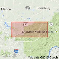
Name Teneriffe Silt applied in study area to laterally continuous, stratified deposit in Sugar Creek valley in the northwest part of the Creal Springs quad, just south of the Illinoian Glacial boundary. Correlated with the type Teneriffe Silt on the basis of the presence of Sangamon Soil in upper part and relationship with adjacent Glasford Formation. Correlation follows precedent set by Lineback (1979) who applied the term to deposits in basins marginal to the Illinoian glaciers. This differs from the original definition of Willman and Frye (1970) who restricted the Teneriffe from areas beyond the Illinoian glacial boundary. As interpreted here, the Teneriffe may include eolian, glaciofluvial, glaciolacustrine, or mass wasted deposits. Overlies bedrock or Oak formation (new, informal name); underlies Cahokia Formation. Subdivided into two informal members. Lower member A is a poorly stratified silt, characterized by a generally silty clay texture; upper member B characterized by high percentage of sand in silt loam, loam, sandy loam, or clay loam. Surface of the Teneriffe is an unconformity, spanning Sangamonian through early Wisconsinan time.
Source: GNU records (USGS DDS-6; Reston GNULEX).
For more information, please contact Nancy Stamm, Geologic Names Committee Secretary.
Asterisk (*) indicates published by U.S. Geological Survey authors.
"No current usage" (†) implies that a name has been abandoned or has fallen into disuse. Former usage and, if known, replacement name given in parentheses ( ).
Slash (/) indicates name conflicts with nomenclatural guidelines (CSN, 1933; ACSN, 1961, 1970; NACSN, 1983, 2005, 2021). May be explained within brackets ([ ]).

