The National Geologic Map Database is migrating to a new infrastructure. We apologize for any service disruptions during this process.
|
|---|


- Usage in publication:
-
- Temporal Formation*
- Modifications:
-
- Named
- Dominant lithology:
-
- Rhyolite
- Andesite
- Conglomerate
- AAPG geologic province:
-
- Basin-and-Range province
Summary:
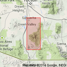
Named. Type area in Temporal Gulch between mouth of Mansfield Canyon and ranch in gulch in Santa Rita Mountains, Santa Cruz Co, AZ, Mount Wrightson quad. Crops out low on southeast flank, Santa Rita Mountains. Is 1,000-2,000 ft thick. Basal member contains rhyolitic to andesitic tuffs and welded flows, arkosic fanglomerate and polymictic conglomerate. A middle member consists of conglomerate, rhyolitic tuff and porphyritic latite flows which grade laterally into andesite flows and volcanic breccia. Top member consists mostly of boulder and cobble conglomerate, rhyodacite breccia, and lenses of volcanic rock. Unconformably overlies Squaw Gulch Granite [See Note Below] and is overlain by Bisbee Formation. Is assigned to early Early Cretaceous.
[NOTE: In accordance with Department of Interior's Secretarial Order 3404, discontinuing use of derogatory term squaw, the Squaw Gulch Granite is in process of being formally renamed Santa Rita Gulch Granite (RESERVED). The geographic feature Squaw Gulch, from which the geologic name was taken (this report), was renamed Santa Rita Gulch by U.S. Board on Geographic Names, September 2022, USGS GNIS FeatureID 638662.]
Source: GNU records (USGS DDS-6; Denver GNULEX).

- Usage in publication:
-
- Temporal Formation*
- Modifications:
-
- Overview
- AAPG geologic province:
-
- Basin-and-Range province
Summary:
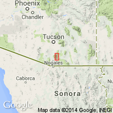
Is basal Cretaceous formation in Santa Rita Mountains (Santa Cruz and Pima Cos, AZ) in Basin-and-Range province. Is divided into three informal members following Drewes (1970). Overlies Jurassic granite; underlies Bathtub Formation (Neocomian) with general disconformity but locally with slight angular unconformity. Thickness is 1,000-2,000 ft. Age is shown to be Neocomian (Early Cretaceous) on correlation chart (fig. 5).
Source: GNU records (USGS DDS-6; Denver GNULEX).
- Usage in publication:
-
- Temporal Formation*
- Modifications:
-
- Geochronologic dating
- AAPG geologic province:
-
- Basin-and-Range province
Summary:
Is part of a second cycle of andesite and rhyolitic volcanism and sedimentation in this area. Dated at 151 +/-5 Ma by whole-rock Rb-Sr isotopic method. Samples collected in southern AZ in the Basin-and-Range province.
Source: GNU records (USGS DDS-6; Denver GNULEX).
For more information, please contact Nancy Stamm, Geologic Names Committee Secretary.
Asterisk (*) indicates published by U.S. Geological Survey authors.
"No current usage" (†) implies that a name has been abandoned or has fallen into disuse. Former usage and, if known, replacement name given in parentheses ( ).
Slash (/) indicates name conflicts with nomenclatural guidelines (CSN, 1933; ACSN, 1961, 1970; NACSN, 1983, 2005, 2021). May be explained within brackets ([ ]).