The National Geologic Map Database is migrating to a new infrastructure. We apologize for any service disruptions during this process.
|
|---|


- Usage in publication:
-
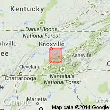
- Tellico sandstone*
- Modifications:
-
- Original reference
- Dominant lithology:
-
- Sandstone
- Shale
- AAPG geologic province:
-
- Appalachian basin
Summary:
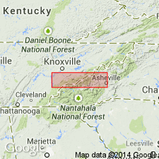
Pg. 4. Tellico sandstone. Bluish-gray and gray calcareous sandstones and sandy shales closely interbedded. Weathers to porous sandy rock with strong red color. Southeast of Bays Mountain is 800 to 900 feet thick and overlies the Athens shale and underlies the Sevier shale; northwest of Bays Mountain is 250 to 500 feet thick and overlies the Chickamauga limestone and underlies Sevier shale.
Source: US geologic names lexicon (USGS Bull. 896, p. 2125).

- Usage in publication:
-
- Tellico sandstone*
- Modifications:
-
- Overview
- AAPG geologic province:
-
- Appalachian basin
Summary:
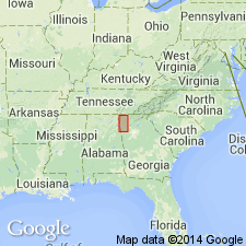
Tellico sandstone of Blount group. Age is Early Ordovician (Chazyan). Recognized in southeastern Tennessee and western North Carolina. Named from exposures in cut on Tellico River, Monroe County, southeastern Tennessee.
According to C. Butts and E.O. Ulrich is of Chazy age. Is considered by A. Keith to be stratigraphic equivalent of Moccasin limestone of eastern Tennessee, but according to C. Butts and E.O. Ulrich the Moccasin of eastern Tennessee is all of Black River age, and typical Moccasin of southwestern Virginia is a facies of lower or Lowville part of the Black River.
Source: US geologic names lexicon (USGS Bull. 896, p. 2125).
- Usage in publication:
-
- Tellico sandstone
- Modifications:
-
- Areal extent
- AAPG geologic province:
-
- Appalachian basin
Summary:
The Tellico sandstone is geographically extended to northwestern GA. Predominantly consists of a coarse-grained ferruginous sandstone with some shale and, in places, a conglomerate at the base. Unit is approximately 500 feet thick and occurs in a single narrow belt extending from TN-GA line southwestward for 8 miles to within 4 miles north of Eton, Murray Co., GA. The Tellico is of Middle Ordovician age.
Source: GNU records (USGS DDS-6; Reston GNULEX).
- Usage in publication:
-
- Tellico formation*
- Modifications:
-
- Revised
- Redescribed
- AAPG geologic province:
-
- Appalachian basin
Summary:
Revised the Tellico to the Tellico formation in eastern TN. Consists of a sequence of gray silty, sandy calcareous shale and calcareous sandstone 2700 to 4500 feet thick. Unit is dominantly shale in which sandstone forms lenticular units generally in middle of formation. These sandstones are what Keith (1895) originally defined as the Tellico sandstone. The formation herein includes shale from the upper part of the Athens formation and shale from the lower part of the Sevier shale. The Tellico overlies the Blockhouse shale with a gradational contact and conformably underlies the Chota formation. Unit is of Middle Ordovician age.
Source: GNU records (USGS DDS-6; Reston GNULEX).
For more information, please contact Nancy Stamm, Geologic Names Committee Secretary.
Asterisk (*) indicates published by U.S. Geological Survey authors.
"No current usage" (†) implies that a name has been abandoned or has fallen into disuse. Former usage and, if known, replacement name given in parentheses ( ).
Slash (/) indicates name conflicts with nomenclatural guidelines (CSN, 1933; ACSN, 1961, 1970; NACSN, 1983, 2005, 2021). May be explained within brackets ([ ]).