The National Geologic Map Database is migrating to a new infrastructure. We apologize for any service disruptions during this process.
|
|---|


- Usage in publication:
-
- Taylor meta-andesite*
- Modifications:
-
- Named
- Dominant lithology:
-
- Andesite
- Tuff
- AAPG geologic province:
-
- Sierra Nevada province
Summary:
[Named] for exposures around Taylor Rock, Taylorsville region at northern end of Sierra Nevada, CA. Occurs as irregular sheets of lava flows intermingled with clastic material, tuffs, and volcanic conglomerates. Designated "greenstone" by miners. Much of the rock has imperfectly developed slaty structure, in places, slaty meta-andesite. Is more than 1000 ft thick. [Conformably overlies] Arlington formation; [conformably underlies] Shoofly formation. "... appears to be of contemporaneous eruption interstratified with Carboniferous rocks. Shown on geologic maps of Indian Valley and of southern half of Honey Lake quad as Carboniferous age.
Source: GNU records (USGS DDS-6; Menlo GNULEX).
- Usage in publication:
-
- Taylor Formation
- Modifications:
-
- Revised
- Redescribed
- Dominant lithology:
-
- Andesite
- Breccia
- Tuff
- AAPG geologic province:
-
- Sierra Nevada province
Summary:
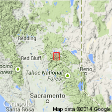
Diller's (1908) geologic column is revised. Hull Meta-andesite unit of Diller (1908) in lower plate of Taylorsville thrust is renamed as Taylor Formation. Diller's (1908) Taylor Meta-andesite above Peale Formation in upper plate is renamed Goodhue Greenstone. (Taylor Formation underlies Peale Formation in both plates.) Characterized by augite andesite, breccia, tuff-breccia, tuff, subordinate flows, minor black tuffaceous slate, and crinoidal limestone. Is about 8000 ft thick. Source probably lies in Downieville 30' quad. Underlies Peale Formation of Mississippian age. Overlies Sierra Buttes Formation (new) (of Late Devonian age). Shown as Mississippian age in block diagram of Taylorsville area. However, due to discovery of probable Devonian fossils in limestone associated with volcanic rocks in foothill belt (L.D. Clerk, written commun., 1959), Devonian(?) age is possible.
Source: GNU records (USGS DDS-6; Menlo GNULEX).
- Usage in publication:
-
- Taylor Formation*
- Modifications:
-
- Adopted
- Age modified
- AAPG geologic province:
-
- Sierra Nevada province
Summary:
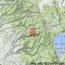
McMath's (1966) Taylor Formation is adopted. Shown on geologic sketch map of Big Valley area (Cisco Grove and Duncan Peak 7.5' quads). Is about 400 m thick. Rocks here are significantly finer-grained than coarse breccia of McMath (1966) and Diller (1908). This part is interpreted as distal submarine-fan deposit. Age is considered Late Devonian and (or) Early Mississippian based on fossils in underlying and overlying formations.
Source: GNU records (USGS DDS-6; Menlo GNULEX).
- Usage in publication:
-
- Taylor Formation*
- Modifications:
-
- Areal extent
- AAPG geologic province:
-
- Sierra Nevada province
Summary:
(advance copy). Unit geographically extended to Butt Lake block. Age is Late Devonian and (or) Early Mississippian.
Source: GNU records (USGS DDS-6; Menlo GNULEX).
- Usage in publication:
-
- Taylor Formation*
- Modifications:
-
- Overview
- AAPG geologic province:
-
- Sierra Nevada province
Summary:
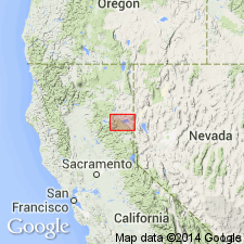
Type section designated by McMath (1958,unpb. thesis) is accepted as exposures along Western Pacific Railroad in canyon of Indian Creek between Indian Falls and Moccasin, secs.34-35 T26N R9E, Crescent Mill 7.5' quad [Plumas Co, CA]. [Extensive description of unit in report]. No fossils within Taylor, but age of fossils in overlying Peale Formation is late Kinderhookian. Thus Taylor is considered Late Devonian and (or) Early Mississippian (Famennian and (or) Kinderhookian) in age.
Source: GNU records (USGS DDS-6; Menlo GNULEX).
For more information, please contact Nancy Stamm, Geologic Names Committee Secretary.
Asterisk (*) indicates published by U.S. Geological Survey authors.
"No current usage" (†) implies that a name has been abandoned or has fallen into disuse. Former usage and, if known, replacement name given in parentheses ( ).
Slash (/) indicates name conflicts with nomenclatural guidelines (CSN, 1933; ACSN, 1961, 1970; NACSN, 1983, 2005, 2021). May be explained within brackets ([ ]).