The National Geologic Map Database is migrating to a new infrastructure. We apologize for any service disruptions during this process.
|
|---|


- Usage in publication:
-
- Tamarack Canyon Dolomite*
- Modifications:
-
- Named
- Dominant lithology:
-
- Dolomite
- AAPG geologic province:
-
- Great Basin province
Summary:
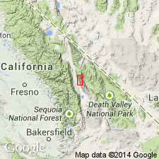
Named for exposures near mouth of Tamarack Canyon. Type section designated as exposures along bottom of subsidiary canyon of Mazourka Canyon about 5700 ft N 59 deg E of SE/4 sec.36 T11S R35E, Independence 15' quad, Inyo Co, CA. Occurs as thin belt from latitude of Independence north for about 1 mi into Waucoba Mountain quad where unit is cut by Mesozoic granite and overlapped by Cenozoic basalt. Consists dominantly of laminated to thick-bedded very light-gray to medium-gray dolomite that weathers normally to monotonous dull-gray surface. Is 910 ft thick at type section. Base is taken as base of dolomite above highest limestone in underlying Lead Gulch Formation; this contact possibly interfingering. Underlies Al Rose Formation. Upper and lower contacts are pronounced color breaks. Age could be Late Cambrian or Early Ordovician based on stratigraphic relations. Tentatively assigned Late Cambrian age.
Source: GNU records (USGS DDS-6; Menlo GNULEX).
- Usage in publication:
-
- Tamarack Canyon Dolomite*
- Modifications:
-
- Areal extent
- AAPG geologic province:
-
- Great Basin province
Summary:
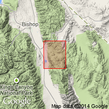
Mapped in southern part of Waucoba Mountain 15' quad, Inyo Co, CA. Described as thin-bedded gray fine-grained dolomite with black chert nodules in basal part. Includes Lead Gulch Formation at base along southern edge of quad. Conformably overlies Bonanza King Dolomite; conformably underlies Al Rose Formation. Age given as Late Cambrian.
Source: GNU records (USGS DDS-6; Menlo GNULEX).
- Usage in publication:
-
- Tamarack Canyon Dolomite*
- Modifications:
-
- Areal extent
- AAPG geologic province:
-
- Great Basin province
Summary:
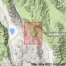
Unit geographically extended into area of report (Talc City Hills, Inyo Co, CA). Rocks were formerly mapped as Pogonip Group by Hall and MacKevett (1962). Unit contains dome-shaped stromatolites. Age given as Late Cambrian.
Source: GNU records (USGS DDS-6; Menlo GNULEX).
For more information, please contact Nancy Stamm, Geologic Names Committee Secretary.
Asterisk (*) indicates published by U.S. Geological Survey authors.
"No current usage" (†) implies that a name has been abandoned or has fallen into disuse. Former usage and, if known, replacement name given in parentheses ( ).
Slash (/) indicates name conflicts with nomenclatural guidelines (CSN, 1933; ACSN, 1961, 1970; NACSN, 1983, 2005, 2021). May be explained within brackets ([ ]).