- Usage in publication:
-
- Stones River group
- Modifications:
-
- Named
- Dominant lithology:
-
- Limestone
- AAPG geologic province:
-
- Appalachian basin
Summary:
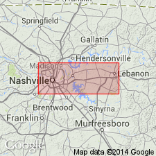
Named Stones River group for exposures on Stones River near Nashville, TN. Consists of 240-260 feet of fossiliferous limestones divided into three entities (ascending): Stones River beds, Lower Lebanon limestone, and Upper Lebanon (Carters) limestone. The basal or Stones River beds are 75 feet thick, blue and brownish-blue limestones, mostly fine-grained and thick-bedded, some strata abounding in dark flinty layers. Lower Lebanon limestone is 50-60 feet thick, highly fossiliferous, thin bedded sky-blue limestones, coarsely crystalline and abounding in calcareous remains, sometimes separated by seams of argillaceous matter; grades into Upper Lebanon limestone which is 110-130 feet thick of grayish, sometimes brownish, and blue thick-bedded limestones, becoming thin-bedded and interstratified with occasional seams of clay in upper 15-20 feet. The Stones River underlies the Nashville group and is the oldest rocks in middle Tennessee.
Source: GNU records (USGS DDS-6; Reston GNULEX).
- Usage in publication:
-
- Stones River Group
- Modifications:
-
- Revised
- AAPG geologic province:
-
- Appalachian basin
Summary:
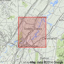
Jewell Bluff Formation named in Meigs Co., TN, and assigned to the Stones River Group. Interfingers with Pond Spring Formation, Murfreesboro, Ridley, and Lebanon Limestones. Newly named unit underlies Carters Limestone and consists of limestone and siltstone.
Source: GNU records (USGS DDS-6; Reston GNULEX).

- Usage in publication:
-
- Stones River Formation*
- Modifications:
-
- Revised
- AAPG geologic province:
-
- Appalachian basin
Summary:
Stones River Formation and its Attalla Chert Conglomerate Member, as defined by Drahovzal and Neathery (1971), is the lowest unit of the Chickamauga Group in the Chickamauga terrane in AL. Stones River Group including, ascending, the Pond Spring Formation, Murfreesboro, Ridley, Lebanon, and Carters Limestones, as defined by Milici and Smith (1969), is the lower group of the Chickamauga Supergroup in the Chickamauga terrane in GA. Underlies the Nashville Formation in AL and the Nashville Group in GA. Age is Middle Ordovician.
Source: GNU records (USGS DDS-6; Reston GNULEX).
- Usage in publication:
-
- Stones River Formation
- Modifications:
-
- Revised
- AAPG geologic province:
-
- Appalachian basin
Summary:
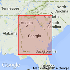
Lebanon and Carters regarded as members of the Stones River Formation of the Chickamauga Group in the Foreland thrust area of northwest Georgia, following the nomenclature of Carter and Chowns (1986: AL Geol. Soc. Guidebook, 23rd Ann. Field Trip) and Carter and Chowns (in press: Amer. Assoc. Pet. Geol., Studies in Geology). Unit underlies Nashville Formation in Walker Co.
Source: GNU records (USGS DDS-6; Reston GNULEX).
- Usage in publication:
-
- Stones River Group, Limestone, Dolostone
- Modifications:
-
- Areal extent
- AAPG geologic province:
-
- Warrior basin
Summary:
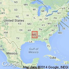
Geographically extended the Stones River Group into the subsurface of the Warrior basin in MS. The group is divided into the (ascending) Stones River Dolostone and Stones River Limestone [this is in violation of the North American Stratigraphic Code]. Dolostone is gray to tan, greenish gray, very fine to finely crystalline, sandy and argillaceous in parts, and contains some bentonite. Limestone is gray to light tan, micritic to finely crystalline, argillaceous at top. Thickness is 503 to 2215 feet. Overlies the Knox Group. The Stones River Group is of Middle Ordovician (Whiterockian) age.
Source: GNU records (USGS DDS-6; Reston GNULEX).
- Usage in publication:
-
- Stones River Group*
- Modifications:
-
- Overview
- Age modified
- AAPG geologic province:
-
- Cincinnati arch
Summary:
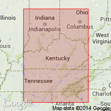
The Stones River Group in central Tennessee consists of (ascending) the Murfreesboro, Pierce, Ridley, Lebanon, and Carters Limestones. The group ranges in age from Blackriveran to Kirkfieldian and correlates with the High Bridge Group and lowest part of the Lexington Limestone of central Kentucky.
Source: GNU records (USGS DDS-6; Reston GNULEX).
For more information, please contact Nancy Stamm, Geologic Names Committee Secretary.
Asterisk (*) indicates published by U.S. Geological Survey authors.
"No current usage" (†) implies that a name has been abandoned or has fallen into disuse. Former usage and, if known, replacement name given in parentheses ( ).
Slash (/) indicates name conflicts with nomenclatural guidelines (CSN, 1933; ACSN, 1961, 1970; NACSN, 1983, 2005, 2021). May be explained within brackets ([ ]).

