- Usage in publication:
-
- Stonehenge member*
- Modifications:
-
- Named
- Dominant lithology:
-
- Limestone
- AAPG geologic province:
-
- Appalachian basin
Summary:
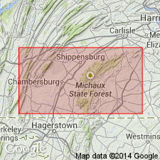
Named for the community of Stonehenge, just east of Chambersburg, Franklin Co., PA. Consists of a lower dark to light gray limestone with sandy laminae less developed than overlying beds and an upper fine-grained light to dark gray limestone containing contorted laminae of sandy matter that stand in relief or fall to sandy shale on weathering and thick beds of "edgewise" conglomerate. 485 feet thick. Overlies Conococheague limestone; underlies remainder of Beekmantown limestone. Report contains measured section of Beekmantown limestone. Considered of Ordovician age.
Source: GNU records (USGS DDS-6; Reston GNULEX).
- Usage in publication:
-
- Stonehenge limestone member*
- Modifications:
-
- Overview
- AAPG geologic province:
-
- Appalachian basin
Summary:
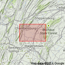
Fine-grained light to dark gray limestone containing wavy laminae of sandy matter that stand in relief or fall to sandy shale on weathering, and thick beds of "edgewise" conglomerate. Gastropods in upper part and trilobite fragments in lower part. Upper beds resemble Conococheague and makes separation of units problematical. 485 feet thick. Overlies Conococheague limestone; underlies the remainder of the Beekmantown limestone. Stratigraphic column and geologic map included in report.
Source: GNU records (USGS DDS-6; Reston GNULEX).
- Usage in publication:
-
- Stonehenge limestone member*
- Modifications:
-
- Areal extent
- AAPG geologic province:
-
- Appalachian basin
Summary:
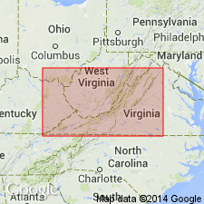
Geographically extended to VA. Thick-bedded limestone 50 to 100 feet thick. Canadian (Early Ordovician) age. Correlates, in part, with Chepultepec limestone.
Source: GNU records (USGS DDS-6; Reston GNULEX).
- Usage in publication:
-
- Stonehenge limestone
- Modifications:
-
- Areal extent
- Revised
- AAPG geologic province:
-
- Appalachian basin
Summary:
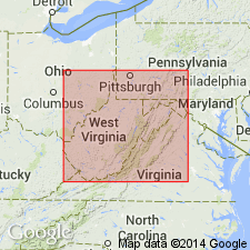
Geographically extended to WV. Synonymously used Chepultepec-Stonehenge for WV. Since Chepultepec has formation rank and the units are considered synonymous, the Stonehenge has formation rank here and is not considered as part of the Beekmantown Group. The author believes the unit's distinctiveness warrants raising the Stonehenge to formation rank. Stonehenge is exposed in eastern panhandle of WV. The greater part of the formation consists of thick-bedded finely crystalline pure blue limestone which weathers blue white to dusty white. The upper portion consists of darker limestone with sandy and argillaceous stringers or laminae whose weathering simulates banded Conococheague limestones. Stonehenge is 350 to 500 feet thick. Age is Early Ordovician. It was previously thought that the Chepultepec was older than the Stonehenge, however, with fossil data it is considered firm that these two units are correlative.
Source: GNU records (USGS DDS-6; Reston GNULEX).
- Usage in publication:
-
- Stonehenge limestone*
- Modifications:
-
- Revised
- Areal extent
- AAPG geologic province:
-
- Appalachian basin
Summary:
Raised Stonehenge to formation rank as lowest formation in Beekmantown Group. Geographically extended to Maryland. Top of Stonehenge placed at base of lowest dolomite bed in Rockdale Run formation. Overlies Conococheague limestone. Age is Early Ordovician based on trilobites. Correlates with Gasconade dolomite of MO. A type section for the Stonehenge is here designated as on Hoover farm, just north of U.S. Route 30, 2 miles east of center of Chambersburg, Franklin Co., PA.
Source: GNU records (USGS DDS-6; Reston GNULEX).
- Usage in publication:
-
- Stonehenge limestone*
- Modifications:
-
- Revised
- AAPG geologic province:
-
- Appalachian basin
Summary:
Originally, the contact for the base of the Stonehenge was placed below the pure, fine-grained, massive limestones and above the sandy, conglomerate, thin-bedded limestones. The thin-bedded unit forms a persistent stratigraphic unit in southern PA, MD, and WV and bears a diagnostic trilobite assemblage that warrants a member and is classified as the Stoufferstown member. This member is placed in the Stonehenge limestone (these beds used to be the upper beds of the Conococheague) which brings the Conococheague-Stonehenge contact near the Cambrian-Ordovician boundary. Also, this new member is mappable. The Stoufferstown member is 217 feet thick; with this addition, the Stonehenge is approximately 1000 feet thick in southern PA.
Source: GNU records (USGS DDS-6; Reston GNULEX).
- Usage in publication:
-
- Stonehenge Formation
- Modifications:
-
- Revised
- AAPG geologic province:
-
- Appalachian basin
Summary:
The previously defined Stoufferstown member of the Stonehenge is raised to formation rank in southern PA and the Stonehenge is called Formation. With the separation of the Stoufferstown, the Stonehenge is approximately 775 feet thick. Formation can be divided into four part: 1) about 100 feet of massive fine-grained and algal limestone with channel fills, 2) 500 feet of thin-bedded fine-grained mechanical limestone, 3) 75 feet of thin-bedded intraformational conglomerate and minor dolomite with irregular laminations (unit is very similar to Stoufferstown Formation), and 4) 100 feet of algal limestone.
Source: GNU records (USGS DDS-6; Reston GNULEX).
- Usage in publication:
-
- Stonehenge Limestone*
- Modifications:
-
- Areal extent
- AAPG geologic province:
-
- Appalachian basin
Summary:
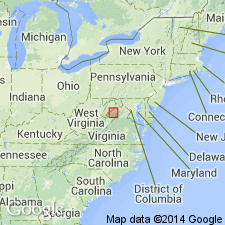
Geographically extended to NJ. Light- to medium-gray, fine- to medium-grained, silt-ribbed and laminated limestone. Contains moderate to abundant amounts of interbedded dolomite in places. Approximately 250 meters (750 feet) thick.
Source: GNU records (USGS DDS-6; Reston GNULEX).
- Usage in publication:
-
- Stonehenge Limestone*
- Modifications:
-
- Overview
- AAPG geologic province:
-
- Appalachian basin
Summary:
Cambrian-Ordovician boundary has traditionally been placed at the Conococheague-Stonehenge contact. Conodonts demonstrate that in northern Virginia, the Cambrian-Ordovician boundary is 43 meters (130 feet) below the formational contact.
Source: GNU records (USGS DDS-6; Reston GNULEX).
- Usage in publication:
-
- Stonehenge Formation*
- Modifications:
-
- Revised
- AAPG geologic province:
-
- Appalachian basin
Summary:
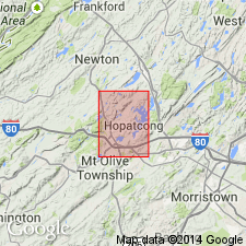
Stonehenge Formation used in Stanhope quad. because in the Lehigh Valley sequence of eastern PA and NJ, the Stonehenge contains more dolomite than limestone.
Source: GNU records (USGS DDS-6; Reston GNULEX).
- Usage in publication:
-
- Stonehenge Formation*
- Modifications:
-
- Areal extent
- AAPG geologic province:
-
- Appalachian basin
Summary:
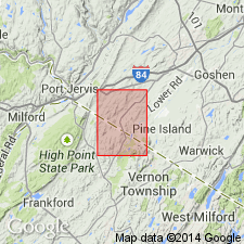
Geographically extended Stonehenge Formation to New York.
Source: GNU records (USGS DDS-6; Reston GNULEX).
- Usage in publication:
-
- Stonehenge Limestone*
- Modifications:
-
- Biostratigraphic dating
- AAPG geologic province:
-
- Appalachian basin
Summary:
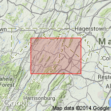
Conodont biostratigraphy indicates that the Stonehenge Limestone of the Beekmantown Group in the Winchester 30 X 60 minute quadrangle is of Early Ordovician (Tremadocian) age. Rocks of the Stonehenge fall within the CORDYLODUS ANGLUATUS and ROSSODUS MANITOUENSIS Zones. The upper part of the underlying Conococheague Limestone is no older than the CORDYLODUS LINDSTROMI Zone, suggesting that the Cambrian-Ordovician boundary is near the formational contact.
Source: GNU records (USGS DDS-6; Reston GNULEX).
- Usage in publication:
-
- Stonehenge Limestone*
- Modifications:
-
- Age modified
- AAPG geologic province:
-
- Appalachian basin
Summary:
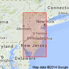
Age of Stonehenge Limestone of Beekmantown Group changed to Late Cambrian(?) and Early Ordovician (early Ibexian) because of uncertainty in placement of Cambrian-Ordovician boundary. All assignable collections of conodonts from Stonehenge are Ibexian, however. Usage follows that of Hobson (1963) in southeastern PA, except that Stonehenge is now recognized in NJ (Drake and others, in press).
Source: GNU records (USGS DDS-6; Reston GNULEX).
For more information, please contact Nancy Stamm, Geologic Names Committee Secretary.
Asterisk (*) indicates published by U.S. Geological Survey authors.
"No current usage" (†) implies that a name has been abandoned or has fallen into disuse. Former usage and, if known, replacement name given in parentheses ( ).
Slash (/) indicates name conflicts with nomenclatural guidelines (CSN, 1933; ACSN, 1961, 1970; NACSN, 1983, 2005, 2021). May be explained within brackets ([ ]).

