The National Geologic Map Database is migrating to a new infrastructure. We apologize for any service disruptions during this process.
|
|---|


- Usage in publication:
-
- Steins Mountain quartz latite porphyry
- Modifications:
-
- First used
- Dominant lithology:
-
- Porphyry
- AAPG geologic province:
-
- Pedregosa basin
Summary:
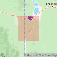
Confined to northern part of mapped area where it forms the upper part of Steins Mountain and hills to the east (secs 2, 3 and 4, T24S, R21W), Hidalgo Co, NM in Pedregosa basin. No type locality designated. Geologic map included. Is a holocrystalline porphyritic-aphanitic pinkish-gray rock that has numerous phenocrysts of quartz and feldspar less than 2 mm in diameter and that constitute 25-30 percent of the rock. Laid down across beds of the previously tilted Quarry Peak rhyolite complex (new). No rock overlies Steins Mountain, but Steins Mountain is intruded by latite porphyry dikes. Assigned a Tertiary age on the geologic map.
Source: GNU records (USGS DDS-6; Denver GNULEX).
For more information, please contact Nancy Stamm, Geologic Names Committee Secretary.
Asterisk (*) indicates published by U.S. Geological Survey authors.
"No current usage" (†) implies that a name has been abandoned or has fallen into disuse. Former usage and, if known, replacement name given in parentheses ( ).
Slash (/) indicates name conflicts with nomenclatural guidelines (CSN, 1933; ACSN, 1961, 1970; NACSN, 1983, 2005, 2021). May be explained within brackets ([ ]).