- Usage in publication:
-
- Stamford Granite*
- Modifications:
-
- Overview
- AAPG geologic province:
-
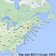
- New England province
Summary:
Used as Stamford Granite of Middle Proterozoic age. Consists of white to gray biotite-oligoclase-microcline rapakivi granite gneiss containing blue quartz.
Source: GNU records (USGS DDS-6; Reston GNULEX).

- Usage in publication:
-
- Stamford Granite*
- Modifications:
-
- Revised
- AAPG geologic province:
-
- New England province
Summary:
Cardinal Brook Intrusive Suite is here named in the cores of the Chester-Athens dome and Rayponda-Sadawga dome in the eastern and southern Green Mountains, VT, and the northern part of the Berkshire massif, MA. Includes the Stamford Granite of Hitchcock (1861) in the Green Mountain massif, VT, and on Hoosac Mountain in the Berkshire massif, MA; the Somerset Reservoir Granite (new name); the Harriman Reservoir Granite (new name); and the Bull Hill Gneiss of Richardson (1931). Consists of coarse-grained post-tectonic biotite granite and rapakivi granite that intrudes Middle Proterozoic gneiss of the Mount Holly Complex. Chemical data show that the Stamford Granite on Hoosac Mountain and at the type locality are two separate plutons, the original contacts and shapes of which are not known. U-Pb zircon age is Middle Proterozoic (960-950 Ma).
Source: GNU records (USGS DDS-6; Reston GNULEX).

- Usage in publication:
-
- Stamford Granite*
- Modifications:
-
- Revised
- Geochronologic dating
- AAPG geologic province:
-
- New England province
Summary:
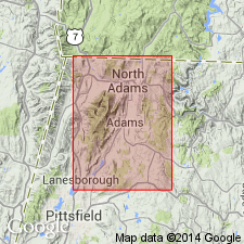
A dike-like feature of Stamford Granite, found near eastern margin of Green Mountain massif near locality 1 on this map (represented by sample 172), was incorrectly referred to as a probable Late Proterozoic diabase dike by Ratcliffe on his section of the Bedrock Map of Massachusetts (Zen and others, 1983). U-Pb zircon dates from Karabinos and Aleinikoff (1988, 1990) yield an age of 959+/-4 Ma. Unpublished data from Harding and Mukasa yield a U-Pb zircon date of about 950 Ma.
Source: GNU records (USGS DDS-6; Reston GNULEX).
For more information, please contact Nancy Stamm, Geologic Names Committee Secretary.
Asterisk (*) indicates published by U.S. Geological Survey authors.
"No current usage" (†) implies that a name has been abandoned or has fallen into disuse. Former usage and, if known, replacement name given in parentheses ( ).
Slash (/) indicates name conflicts with nomenclatural guidelines (CSN, 1933; ACSN, 1961, 1970; NACSN, 1983, 2005, 2021). May be explained within brackets ([ ]).

