

- Usage in publication:
-
- Southward Spring sandstone
- Modifications:
-
- Named
- Dominant lithology:
-
- Sandstone
- AAPG geologic province:
-
- Black Warrior basin
Morse, W.C., 1928, Paleozoic rocks of Mississippi: Journal of Geology, v. 36, no. 1, p. 31-43.
Summary:
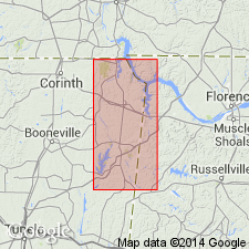
Southward Spring sandstone in Chester group named in Tishomingo Co., northeastern MS. Unit consists of impure shaly, somewhat calcareous sandstone. Underlies Southward Bridge formation and overlies Southward Pond formation. Thickness approximately 30 ft; 15 ft exposed at Southward Spring. Age is Mississippian.
Source: GNU records (USGS DDS-6; Reston GNULEX).
- Usage in publication:
-
- Southward Spring sandstone member*
- Modifications:
-
- Revised
- AAPG geologic province:
-
- Black Warrior basin
Summary:
Rank reduced to member status in Pride Mountain formation (new) in Tishomingo Co., MS, and Colbert Co., AL. Overlies Wagnon member (new); underlies Sandfall member (new). Appears to grade laterally to olive-gray shale, which is included in the overlying Sandfall member. Age is Late Mississippian.
Source: GNU records (USGS DDS-6; Reston GNULEX).
- Usage in publication:
-
- Southward Spring Sandstone Member
- Modifications:
-
- Overview
- AAPG geologic province:
-
- Black Warrior basin
Summary:
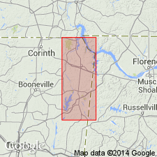
Southward Spring Sandstone Member of Pride Mountain Formation is exposed in easternmost Tishomingo Co. Unit consists of dark yellowish-brown, thin- to medium-bedded, fine- to medium-grained, well cemented, partially calcareous, quartz sandstone with occasional intervals of sandy shale. Thins eastward from a exposed thickness of 15 ft to a very thin, laterally discontinuous interval in northern AL. Overlies Wagnon Member; underlies Sandfall Member. Age is Late Mississippian (Chesterian). [Pride Mountain is undifferentiated on plates and charts, but members are discussed in text.]
Source: GNU records (USGS DDS-6; Reston GNULEX).
For more information, please contact Nancy Stamm, Geologic Names Committee Secretary.
Asterisk (*) indicates published by U.S. Geological Survey authors.
"No current usage" (†) implies that a name has been abandoned or has fallen into disuse. Former usage and, if known, replacement name given in parentheses ( ).
Slash (/) indicates name conflicts with nomenclatural guidelines (CSN, 1933; ACSN, 1961, 1970; NACSN, 1983, 2005, 2021). May be explained within brackets ([ ]).