

- Usage in publication:
-
- Southern Belle quartzite
- Modifications:
-
- Named
- Dominant lithology:
-
- Quartzite
- AAPG geologic province:
-
- Basin-and-Range province
Summary:
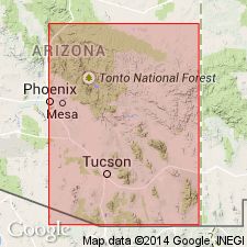
Named [no type locality designated]. 26 ft of cliff-forming quartzite that lies between the Santa Catalina formation (new) and the Abrigo formation (restricted) in Peppersauce Canyon of the Santa Catalina Mountains, Arizona in the Basin-and-Range province. Is of Middle Cambrian age.
Source: GNU records (USGS DDS-6; Denver GNULEX).
- Usage in publication:
-
- Southern Belle Member*
- Modifications:
-
- Revised
- AAPG geologic province:
-
- Basin-and-Range province
Summary:
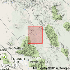
Reduced in rank to member of Abrigo Formation in Mammoth quad, Pinal Co, AZ in the Basin-and-Range province. Overlies Three C Member of Abrigo Formation with somewhat arbitrary contact. Overlain by Peppersauce Member of Abrigo Formation. 70 ft thick in Nugget Canyon. [Accepted by GNC as Middle? and Late? Cambrian in age.]
Source: GNU records (USGS DDS-6; Denver GNULEX).
- Usage in publication:
-
- Southern Belle Member*
- Modifications:
-
- Age modified
- AAPG geologic province:
-
- Basin-and-Range province
Summary:
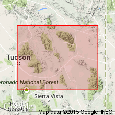
Is a member of Abrigo Formation shown as of early Dresbachian (Late Cambrian) age in the Basin-and-Range province.
Source: GNU records (USGS DDS-6; Denver GNULEX).
- Usage in publication:
-
- Southern Belle Member*
- Modifications:
-
- Areal extent
- Age modified
- AAPG geologic province:
-
- Basin-and-Range province
Summary:
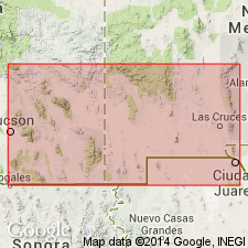
Recognized only in Santa Catalina Mountains, AZ in the Basin-and-Range province, as a member of the Abrigo Formation. Equivalent to basal part of middle member of Abrigo Formation of other areas southeastern Arizona. Is Middle? and Late Cambrian in age.
Source: GNU records (USGS DDS-6; Denver GNULEX).
For more information, please contact Nancy Stamm, Geologic Names Committee Secretary.
Asterisk (*) indicates published by U.S. Geological Survey authors.
"No current usage" (†) implies that a name has been abandoned or has fallen into disuse. Former usage and, if known, replacement name given in parentheses ( ).
Slash (/) indicates name conflicts with nomenclatural guidelines (CSN, 1933; ACSN, 1961, 1970; NACSN, 1983, 2005, 2021). May be explained within brackets ([ ]).