

- Usage in publication:
-
- South Hill Sandstone Member*
- Modifications:
-
- Named
- Dominant lithology:
-
- Sandstone
- AAPG geologic province:
-
- Great Basin province
Summary:
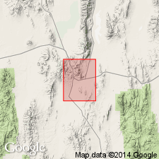
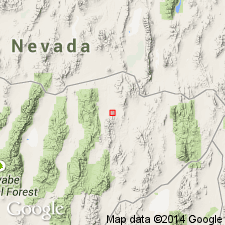
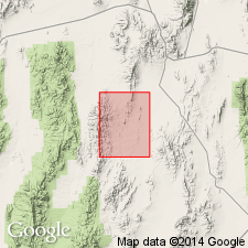
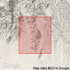
[Probably named for South Hill; no type designated by original author]. Exposed only in Grays Canyon near South Hill [39 deg 21' 26"N, 115 deg 59' 50"W] Pinto Summit 15' quad Eureka Co, NV. Is second from top member of Nevada Formation. Composed of white to light-gray sheared quartzite or quartzitic sandstone with some interbedded sandy dolomite. Maximum of 200 ft exposed. Underlies Bay State Dolomite Member of the Nevada Formation. Overlies Grays Canyon Limestone Member. In Grays Canyon represents Woodpecker Limestone Member. Is latest Early and early Middle Devonian age.
Source: GNU records (USGS DDS-6; Menlo GNULEX).
- Usage in publication:
-
- South Hill Sandstone*
- Modifications:
-
- Revised
- AAPG geologic province:
-
- Great Basin province
Summary:
Raised to formation rank [replacing the Nevada Formation, which is abandoned]. Crops out in small fault blacks in south Fish Creek Range; is not present in Antelope Range.
Source: GNU records (USGS DDS-6; Menlo GNULEX).
- Usage in publication:
-
- South Hill Sandstone*
- Modifications:
-
- Mapped
- AAPG geologic province:
-
- Great Basin province
Summary:
Small outcrops of South Hill(?) Sandstone mapped in northwestern part of Fish Creek Range and 1 km southeast of Eightmile Well. Composed of well-indurated medium-grained quartzite. Overlies Sentinel Mountain(?) Dolomite. Underlies Bay State Dolomite. Age is Middle Devonian.
Source: GNU records (USGS DDS-6; Menlo GNULEX).
- Usage in publication:
-
- South Hill Sandstone
- Modifications:
-
- Not used
- AAPG geologic province:
-
- Great Basin province
Summary:
Name South Hill Sandstone (of Nolan and others, 1974) is abandoned [not used] in South Hill area because rocks are actually a tongue of Oxyoke Canyon Sandstone which overlies Sadler Ranch Formation. In this area underlies undivided Sentinel Mountain-Bay State Formations. Oxyoke Canyon tongue in this area contains conodonts indicative of the COSTATUS zone [Eifelian, Middle Devonian age].
Source: GNU records (USGS DDS-6; Menlo GNULEX).
For more information, please contact Nancy Stamm, Geologic Names Committee Secretary.
Asterisk (*) indicates published by U.S. Geological Survey authors.
"No current usage" (†) implies that a name has been abandoned or has fallen into disuse. Former usage and, if known, replacement name given in parentheses ( ).
Slash (/) indicates name conflicts with nomenclatural guidelines (CSN, 1933; ACSN, 1961, 1970; NACSN, 1983, 2005, 2021). May be explained within brackets ([ ]).