

- Usage in publication:
-
- Sloan Canyon formation
- Modifications:
-
- Original reference
- Dominant lithology:
-
- Shale
- Marl
- Sandstone
- AAPG geologic province:
-
- Sierra Grande uplift
Summary:
Pg. 132, Mimeo. Sloan Canyon formation. Varicolored earthy and calcareous shales with thin beds of gray marl and sandstone. Thickness 125 to 150 feet. Of Triassic(?) age. Overlies Dockum group and underlies Sheep Pen Canyon formation.
[Origin of name not stated.]
Source: US geologic names lexicon (USGS Bull. 896, p. 2012).
- Usage in publication:
-
- Sloan Canyon formation
- Modifications:
-
- Original reference
- Dominant lithology:
-
- Shale
- Marl
- Sandstone
- AAPG geologic province:
-
- Sierra Grande uplift
Summary:
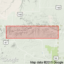
Pg. 40-43. Sloan Canyon formation. Pale, variegated argillaceous and calcareous shales with thin layers of hard gray marl and a bed of red sandstone near base. Estimated thickness 125 to 150 feet. Conformably underlies Sheep Pen sandstone and overlies the red beds assigned by Darton to Dockum group. Typically exposed throughout lower part of valley of Sloan Canyon in east-central part of T. 31 N., R. 35 E., Union County, northeastern New Mexico. Because of poor induration of the shales the basal contact is generally concealed, and consequently the true character of the lowermost 25 to 50 feet of the deposit is not known. Contains numerous fragmental fish teeth and bones and, at one place, many tracks, probably of reptillian origin. On basis of stratigraphic position the Sloan Canyon and overlying Sheep Pen formations are referred to Triassic(?). Darton assigned this formation and Exeter sandstone to Morrison formation, but this does not seem tenable in light of pronounced angular unconformity that separates the Sloan Canyon beds and Exeter sandstone and which involves complete removal by erosion of Sheep Pen sandstone at several localities where the shales of Sloan Canyon formation and Exeter sandstone are in contact.
Source: US geologic names lexicon (USGS Bull. 896, p. 2012).
- Usage in publication:
-
- Sloan Canyon formation
- Modifications:
-
- Revised
- AAPG geologic province:
-
- Sierra Grande uplift
Summary:
Pg. 35 (table 2), 39-40, pl. 1d. Sloan Canyon formation of Dockum group. Light-green and red mudstone. Thickness as much as 150 feet. Overlies Travesser formation (new); underlies Sheep Pen sandstone. Age is Late Triassic.
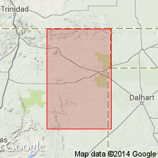
Measured section in sec. 2, T. 31 N., R. 32 E., Union Co., northeastern NM.
Source: US geologic names lexicon (USGS Bull. 1200, p. 3632).
- Usage in publication:
-
- Sloan Canyon Formation
- Modifications:
-
- Principal reference
- Revised
- Dominant lithology:
-
- Sandstone
- Siltstone
- AAPG geologic province:
-
- Sierra Grande uplift
Summary:
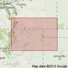
Removed from Dockum Group, term not used in Union Co, NM, because of prior application to rocks of various lithologies and ages. Type section designated, measured in NW1/4 SW1/4 NW1/4 and SE1/4 SW1/4 NW1/4 sec 12, T31N, R35E, Union Co, Sierra Grande uplift, 47 m thick of: sandstone (predominantly) that may be green, gray, gray-red, gray-orange, quartzose, very fine to fine grained, poorly-, moderately-, to well-sorted, slightly calcareous to non-calcareous, well rounded, silty, bioturbated; siltstone of red to red-brown with gray mottles, sandy, slightly calcareous; one interval of white limestone and conglomerate. Conglomerate has: quartzose matrix, is gray-red to red-brown, medium grained, very poorly sorted, has fish scales. Reference section designated, measured in NE1/4 NE1/4 NE1/4 sec 2 and N1/2 SW1/4 NW1/4 NW1/4 sec 1, T31N, R34E, Union Co, 41.2 m thick of: siltstone (mostly) that may be green, gray, red to red-brown, non- to slightly calcareous, some brown to gray mottles, some beds fossiliferous, slightly micaceous, ripple laminated, bioturbated; sandstone that may be gray, green, quartzose, poorly sorted, subangular to subround, calcareous, fine grained, cross-bedded; conglomerate of mostly siltstone in sandy siltstone matrix. Overlies Travesser Formation; underlies Sheep Pen Sandstone. Vertebrate fossils: amphibians reptiles, footprints, ostracods, charophytes. Norian age and lacustrine environment suggested.
Source: GNU records (USGS DDS-6; Denver GNULEX).
For more information, please contact Nancy Stamm, Geologic Names Committee Secretary.
Asterisk (*) indicates published by U.S. Geological Survey authors.
"No current usage" (†) implies that a name has been abandoned or has fallen into disuse. Former usage and, if known, replacement name given in parentheses ( ).
Slash (/) indicates name conflicts with nomenclatural guidelines (CSN, 1933; ACSN, 1961, 1970; NACSN, 1983, 2005, 2021). May be explained within brackets ([ ]).