- Usage in publication:
-
- Sierra Buttes Formation
- Modifications:
-
- Named
- Dominant lithology:
-
- Breccia
- Tuff
- AAPG geologic province:
-
- Sierra Nevada province
Summary:
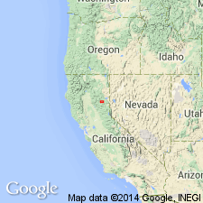
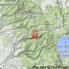
Name Sierra Buttes Formation proposed for Turner's (1894, 1896, 1897) quartz porphyry of Sierra Buttes, Diller's (1908) metarhyolite, Diller's (1895) quartz porphyry; and metarhyolite series of Durrell and Proctor, 1948). No type designated but representative section is exposed in vicinity of Long Lake and Wades Lake, 7 mi northwest of Sierra Buttes. Sierra Buttes, highest and most distinctive peaks composed of this formation, are in south part of Downieville 30' quad, northern CA. Excluding dikes and sills, formation consists principally of bedded quartz keratophyre breccia, tuff, and perhaps some flows whose gross chemical composition is probably closer to dacite than to rhyolite. Thickness 4000 to 5000 feet but decreases to less than 1000 feet in northwest part of lower plate of thrust. In lower plate, underlies Taylor Formation, and overlies Shoo Fly Formation with angular unconformity. In upper plate of thrust overlies Grizzly Formation and underlies Taylor. Age is Devonian(?) based on probable Devonian fossils in limestone associated with volcanic rocks in foothill belt (L.D. Clark, written commun., 1959).
Source: GNU records (USGS DDS-6; Menlo GNULEX).

- Usage in publication:
-
- Sierra Buttes Formation*
- Modifications:
-
- Adopted
- Age modified
- AAPG geologic province:
-
- Sierra Nevada province
Summary:
McMath's (1966) Sierra Buttes Formation is adopted. Because black radiolarian chert does not form mappable unit in report, rocks mapped here as Sierra Buttes Formation include rocks temporally equivalent to Elwell Formation of Durrell and D'Allura (1977). Sierra Buttes Formation unconformably overlies Shoo Fly Complex; underlies Taylor Formation. Age is Late Devonian (middle Famennian) on basis of ammonite fauna (Anderson and others, 1974).
Source: GNU records (USGS DDS-6; Menlo GNULEX).

- Usage in publication:
-
- Sierra Buttes Formation
- Modifications:
-
- Overview
- AAPG geologic province:
-
- Sierra Nevada province
Summary:
Type section defined as exposures beginning near termination of old mining road on southwest side of Sierra Buttes (SE/4 NE/4 NW/4 sec.20 T20N R12E) to point about 150 m south of and below Sierra Buttes lookout (SE/4 SW/4 SE/4 sec.17 T20N R12E); upper part of section begins near Mountain Mine (SW/4 NW/4 SE/4 sec.16 T20N R12E), Sierra City 15' quad [Sierra Co, CA]. Is approximately 1.75 km thick at type. Conformably overlies Grizzly Formation. Underlies Taylor Formation. Divided into 4 informal members; measured sections included with stratigraphic columns and detailed lithology in this report. Elwell Formation is not recognized in Dugan Pond-Grouse Ridge area. Age is Late Devonian based on conodonts and ammonoids.
Source: GNU records (USGS DDS-6; Menlo GNULEX).

- Usage in publication:
-
- Sierra Buttes Formation*
- Modifications:
-
- Age modified
- AAPG geologic province:
-
- Sierra Nevada province
Summary:
Radiolarians from chert in lower part of unit at southeast end of Keddie Ridge are Frasnian or Famennian in age (Hannah, 1980). Conodonts from member C of Hanson (1983) east of Bowman Lake and near Culbertson Lake are middle Famennian in age (Hanson and Schweichert, 1986). Ammonoids from Dugan Pond are also middle Famennian age (Anderson and others, 1974). Age of Sierra Buttes Formation is Late Devonian (Frasnian? and Famennian).
Source: GNU records (USGS DDS-6; Menlo GNULEX).
For more information, please contact Nancy Stamm, Geologic Names Committee Secretary.
Asterisk (*) indicates published by U.S. Geological Survey authors.
"No current usage" (†) implies that a name has been abandoned or has fallen into disuse. Former usage and, if known, replacement name given in parentheses ( ).
Slash (/) indicates name conflicts with nomenclatural guidelines (CSN, 1933; ACSN, 1961, 1970; NACSN, 1983, 2005, 2021). May be explained within brackets ([ ]).

