

- Usage in publication:
-
- Shriver chert member, chert
- Modifications:
-
- Named
- Dominant lithology:
-
- Chert
- Shale
- AAPG geologic province:
-
- Appalachian basin
Summary:
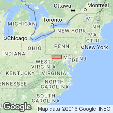
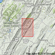
Named the Shriver chert member of the Oriskany formation for Shriver Ridge near Cumberland, Allegany Co., western MD. Consists of dark siliceous shale with much black impure chert in nodules or layers of nodules. Thickness is 0 to 100 feet. Unit is basal member of Oriskany. Overlies the Becraft member of the Helderberg formation and underlies the Ridgeley sandstone [member]. Also is used as Shriver chert of Oriskany group. The Shriver is of Early Devonian age.
Source: GNU records (USGS DDS-6; Reston GNULEX).
- Usage in publication:
-
- Shriver Chert
- Modifications:
-
- Revised
- AAPG geologic province:
-
- Appalachian basin
Summary:
In southwestern MD and northeastern WV, the Shriver Chert is included in the Helderberg Group.
Source: GNU records (USGS DDS-6; Reston GNULEX).
- Usage in publication:
-
- Shriver Member
- Modifications:
-
- Revised
- AAPG geologic province:
-
- Appalachian basin
Summary:
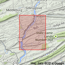
In central PA, the Shriver is revised as the Shriver Member of the Old Port Formation. Overlies the Mandata Member and underlies the Ridgeley Member, both of the Old Port Formation. The Shriver is of Early Devonian age.
Source: GNU records (USGS DDS-6; Reston GNULEX).
- Usage in publication:
-
- Shriver Chert
- Modifications:
-
- Areal extent
- Overview
- AAPG geologic province:
-
- Appalachian basin
Summary:
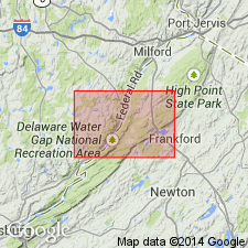
Shriver Chert, middle unit of Oriskany Group, mapped in northwestern NJ. Unit is black to dark-gray siltstone and shale containing interbedded mottled, black and white chert and medium-gray thin-bedded, medium-crystalline limestone. Lower contact is gradational. Unit is only found in the southwestern part of the map area. Thickness ranges from 0 to 28 ft. Underlies Ridgeley Sandstone and overlies Glenerie Formation, both of Oriskany. Age is Early Devonian.
Source: GNU records (USGS DDS-6; Reston GNULEX).

- Usage in publication:
-
- Shriver Chert*
- Modifications:
-
- Biostratigraphic dating
- AAPG geologic province:
-
- Appalachian basin
Summary:
Conodont biostratigraphy indicates that the Shriver Chert in the Winchester 30 X 60 minute quadrangle is of Early Devonian (late Lochkovian) age. Conodonts indicative of the P. PESAVIS Zone were recovered 12.5 m below the top of the formation.
Source: GNU records (USGS DDS-6; Reston GNULEX).
For more information, please contact Nancy Stamm, Geologic Names Committee Secretary.
Asterisk (*) indicates published by U.S. Geological Survey authors.
"No current usage" (†) implies that a name has been abandoned or has fallen into disuse. Former usage and, if known, replacement name given in parentheses ( ).
Slash (/) indicates name conflicts with nomenclatural guidelines (CSN, 1933; ACSN, 1961, 1970; NACSN, 1983, 2005, 2021). May be explained within brackets ([ ]).