- Usage in publication:
-
- Shoal River marl member
- Modifications:
-
- First used
- Dominant lithology:
-
- Marl
- AAPG geologic province:
-
- Mid-Gulf Coast basin
Summary:
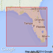
Used Shoal River marl member of the Alum Bluff formation by referencing unpublished information of Vaughn. Shoal River marl member lies 30 feet above the Oak Grove sand member and forms upper part of Alum Bluff formation. The unit is approximately 50 ft thick and consists of interbedded greenish sands, clays, and marls.
Source: GNU records (USGS DDS-6; Reston GNULEX).
- Usage in publication:
-
- Shoal River formation*
- Modifications:
-
- Revised
- AAPG geologic province:
-
- Mid-Gulf Coast basin
Summary:
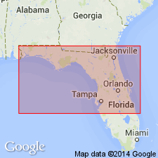
Raised Shoal River to formation rank. Unit is considered highest formation in Alum Bluff group. The Shoal River formation is considered to be the marls, sands, and clays that occur stratigraphically between the top of the Oak Grove sand and the base of the Choctawhatchee marl.
Source: GNU records (USGS DDS-6; Reston GNULEX).
- Usage in publication:
-
- Shoal River formation
- Modifications:
-
- Revised
- AAPG geologic province:
-
- Mid-Gulf Coast basin
Cooke, C.W., 1945, Geology of Florida: Florida Geological Survey Bulletin, no. 29, 339 p.
Summary:
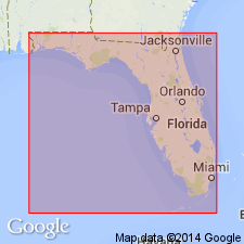
Revised the Shoal River formation by reducing the rank of the underlying Oak Grove sand to member status and including it as the lowest member of the Shoal River formation. This change is based on the similarities of faunas in the Shoal River and Oak Grove and the limited areal distribution of the Oak Grove.
Source: GNU records (USGS DDS-6; Reston GNULEX).
- Usage in publication:
-
- Shoal River Formation
- Modifications:
-
- Overview
- AAPG geologic province:
-
- Florida platform
Summary:
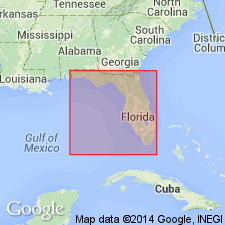
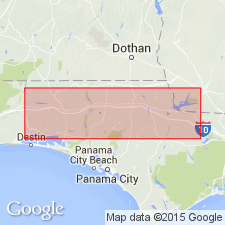
Shoal River Formation described as unfossiliferous to fossiliferous, dark blue-gray to grayish green, micaceous silty fine sand to sandy clay, moderately to highly consolidated. Interfingers (downdip) with Bruce Creek Limestone, Intracoastal Formation, Pensacola Clay and (updip) with Citronelle Formation. Age is Miocene.
Source: GNU records (USGS DDS-6; Reston GNULEX).
- Usage in publication:
-
- Shoal River
- Modifications:
-
- Not used
- AAPG geologic province:
-
- Mid-Gulf Coast basin
Summary:
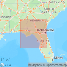
Alum Bluff Group referred to as undifferentiated in this report. Because formations assigned by previous workers were differentiated on the basis of micro- and macrofossil faunas and implied age, not lithology, and do not satisfy the requirements of the Code, they are not used by this author. Alum Bluff is described in several outcrops and includes sediments differentiated as Chipola, Shoal River, Oak Grove, Whites Creek, Choctawhatchee, Red Bay, and Yellow River by others. Outcrop at Shell Bluff, Walton Co., the type locality of the Shoal River, in this report is considered to be undifferentiated Alum Bluff Group as the lithology exposed there is nearly identical to that of several other outcrops, but previously referred to different formations.
Source: GNU records (USGS DDS-6; Reston GNULEX).
- Usage in publication:
-
- Shoal River Formation
- Modifications:
-
- Geochronologic dating
- AAPG geologic province:
-
- Florida platform
Summary:
Shoal River samples yielded middle Miocene age of 12.4 Ma. Though unit contains a rich record of molluscan fossils, its precise age assignment has often been debated. Age here agrees with the Serravallian age assigned by Huddlestun (1988).
Source: GNU records (USGS DDS-6; Reston GNULEX).
For more information, please contact Nancy Stamm, Geologic Names Committee Secretary.
Asterisk (*) indicates published by U.S. Geological Survey authors.
"No current usage" (†) implies that a name has been abandoned or has fallen into disuse. Former usage and, if known, replacement name given in parentheses ( ).
Slash (/) indicates name conflicts with nomenclatural guidelines (CSN, 1933; ACSN, 1961, 1970; NACSN, 1983, 2005, 2021). May be explained within brackets ([ ]).

