- Usage in publication:
-
- Shields formation*
- Modifications:
-
- Named
- Dominant lithology:
-
- Sandstone
- Conglomerate
- Shale
- AAPG geologic province:
-
- Appalachian basin
Summary:
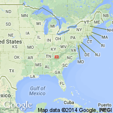
Named as formation in Walden Creek group of Ocoee series. Named for Shields Mountain, a high ridge along northwest edge of foothills of Great Smoky Mountains, west of Little Pigeon River. Typical exposures are along road at east end of mountains. Occurs as ledges and ridges. Consists of sandstone and "Citico-type" conglomerate. Sandstones are coarse-grained, feldspathic, and ungraded. Conglomerates are interbedded with sandstone as seams, lenses, and thick beds. Also contains argillaceous shale with thin, gritty sandstone lenses. In type area, shale dominates upper half of formation, but intertongues with sandstone and conglomerate in lower half. Underlain by Licklog formation. Report includes correlation chart and geologic map. Age is late Precambrian.
Source: GNU records (USGS DDS-6; Reston GNULEX).
- Usage in publication:
-
- Shields formation*
- Modifications:
-
- Revised
- Overview
- AAPG geologic province:
-
- Appalachian basin
Summary:
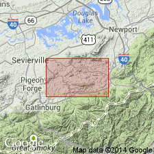
Shields formation of Walden Creek group of Ocoee series is here divided into two informal members. The lower member is conglomerate of Shields Mountain that underlies high ridge of Shields Mountain. Consists of thick-bedded coarse sandstone and quartz-pebble conglomerate, best exposed in ledges, bluffs, and road cuts along Bird Creek at east end of mountain. Similar rocks near Short Mountain are considered a correlative. Sandstone and conglomerate are mostly light gray on weathered surfaces and gray, brownish gray, or yellowish brown where fresh; spongy interstitial limonite is conspicuous in places; in deeply weathered area, quartz pebbles released from conglomerate strew the ground. Intertongues upward and northeastward with slate of Richardson Cove. May not have regional extent. Can be confused with middle unnamed member of Sandsuck formation. Upper member is slate of Richardson Cove, which consists of slate and shale with lenses and tongues of coarse, gritty sandstone; also includes limestone along and near Bird Creek which resembles limestone in overlying Wilhite formation. Most outcrops are yellowish gray and much weathered. Best exposed west of Richardson Cove along Middle Creek. Crops out in low hills; natural outcrops are rare except in stream beds. Intertongues with underlying conglomerate of Shields Mountain; upper contact placed at concordant contact with lowest siltstone-dominated member of Wilhite formation. No correlation can be made between limestones in slate at Richardson Cove and limestone in Wilhite. Age is late Precambrian. Report includes geologic map, cross sections, correlation chart, and measured sections.
Source: GNU records (USGS DDS-6; Reston GNULEX).
- Usage in publication:
-
- Shields Formation
- Modifications:
-
- Overview
- AAPG geologic province:
-
- Appalachian basin
Summary:
In Unaka Mountains, used as Precambrian Shields Formation of Walden Creek Group of Ocoee Supergroup.
Source: GNU records (USGS DDS-6; Reston GNULEX).
- Usage in publication:
-
- Shields Formation*
- Modifications:
-
- Areal extent
- Overview
- AAPG geologic province:
-
- Appalachian basin
Summary:
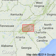
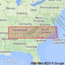
Included in Walden Creek Group of Ocoee Series. Mapped in Blue Ridge belt northwest of Greenbrier-Devils Fork belt, southwest of Pigeon River, in Blount and Sevier Cos., eastern TN. Upper part consists of slate, shale, and interbedded fine sandstone with lenses and tongues of coarse gritty sandstone. Lower part consists of quartz-pebble conglomerate and coarse pebbly sandstone interbedded with thin-bedded fissile slate and argillaceous shale; rare limestone beds are present. Age is late Precambrian.
Source: GNU records (USGS DDS-6; Reston GNULEX).
- Usage in publication:
-
- Shields Formation*
- Modifications:
-
- Areal extent
- AAPG geologic province:
-
- Piedmont-Blue Ridge province
Summary:
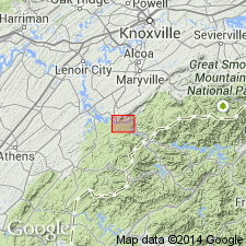
Shields Formation of Walden Creek Group shown in column 5, western NC. Estimated thickness is 600-750 m.
Source: GNU records (USGS DDS-6; Reston GNULEX).
- Usage in publication:
-
- Shields Formation
- Modifications:
-
- Age modified
- Biostratigraphic dating
- AAPG geologic province:
-
- Appalachian basin
Summary:
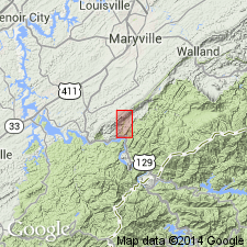
A newly discovered fossil assemblage in the Wilhite Formation, including trilobite, ostracode, bryozoan, and microcrinoid fragments and agglutinated foraminifers prove a Silurian or younger age for the Walden Creek Group of the Ocoee Supergroup. Deposition in a "successor" basin suggested by authors. The shale overlying the Wilhite Formation in the area south of English Mountain cannot be correlated with the Sandsuck Formation underlying the Chilhowee Group on Chilhowee Mountain and English Mountain. The name Sandsuck should not be used for this uppermost unit of the Walden Creek Group.
Source: GNU records (USGS DDS-6; Reston GNULEX).
- Usage in publication:
-
- Shields Formation
- Modifications:
-
- Biostratigraphic dating
- Age modified
- AAPG geologic province:
-
- Appalachian basin
Summary:
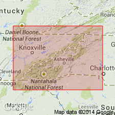
New microfossil discoveries in the Little Tennessee River Valley indicate age of Walden Creek Group is Late Devonian to earliest Mississippian, and therefore related to the Acadian Orogeny. Fossils have been found along the entire outcrop belt of the Walden Creek Group from Hot Springs, NC, to the Ocoee River Gorge, TN. A conformable contact between the Walden Creek Group and the Great Smoky Group implies that the Great Smoky and possibly the entire Ocoee Supergroup are also Paleozoic. Great Smoky Group is here tentatively correlated with the Lay Dam Formation.
Source: GNU records (USGS DDS-6; Reston GNULEX).
- Usage in publication:
-
- Shields Formation
- Modifications:
-
- Biostratigraphic dating
- AAPG geologic province:
-
- Appalachian basin
Summary:
Upper part of the Ocoee Supergroup (the Shields, Wilhite, and Sandsuck Formations) are assigned to the Vendian (Late Proterozoic), based on occurrences of Vendian acritarchs in the Shields and Wilhite Formations. Authors state that it is beyond the scope of this paper to address the relative merits of the arguments presented by Unrug and Unrug (1990) or comment as the validity of their studies. Walker and Driese maintain that the Sandsuck, Wilhite, and Shield Formations of the Walden Creek Group form a continuous stratigraphic sequence with the overlying Chilhowee Group, which is dated here as Late Proterozoic and Early Cambrian on the basis of an assemblage of trace and body fossils --PALAEOPHYCUS, PLANOLITES, and SKOLITHOS.
Source: GNU records (USGS DDS-6; Reston GNULEX).
For more information, please contact Nancy Stamm, Geologic Names Committee Secretary.
Asterisk (*) indicates published by U.S. Geological Survey authors.
"No current usage" (†) implies that a name has been abandoned or has fallen into disuse. Former usage and, if known, replacement name given in parentheses ( ).
Slash (/) indicates name conflicts with nomenclatural guidelines (CSN, 1933; ACSN, 1961, 1970; NACSN, 1983, 2005, 2021). May be explained within brackets ([ ]).

