- Usage in publication:
-
- Shenango, Shenango River series
- Modifications:
-
- First used
- Dominant lithology:
-
- Shale
- Coal
- AAPG geologic province:
-
- Appalachian basin
Summary:
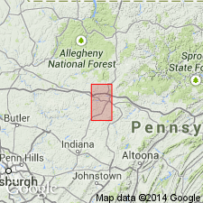
Shenango series [in table] or Shenango River series [as it is called in text] underlies conglomerate No. XII (Seral) and overlies Catskill series. Includes Sharon coals and Tionesta coals, or "all coal measures underlying the conglomerate, and at base red shale." Age is Mississippian and Pennsylvanian. [The term "Seral conglomerate" as used in this report is applied to Homewood sandstone, top member of Pottsville formation, and the names Shenango and Shenango River covered the rest of Pottsville formation and underlying Mauch Chunk and Pocono formations.]
Source: GNU records (USGS DDS-6; Reston GNULEX).
- Usage in publication:
-
- Shenango sandstone, shale
- Modifications:
-
- Named
- Dominant lithology:
-
- Sandstone
- Shale
- AAPG geologic province:
-
- Appalachian basin
Summary:
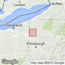
Shenango sandstone described in this report as massive sandstone, coarse, brownish white, charged with nodular iron ore and fish remains. Has been quarried at many places along Shenango River in Mercer Co. where thickness is 15 ft. Overlies Crawford shales and underlies Shenango shales. Shales are described as interstratified sandy shales and flaggy sandstones, 36 to 50 ft thick, underlying Sharon conglomerate. Age is Mississippian. [Name Shenango sandstone first appeared on Pennsylvania Geological Survey geologic map of Mercer Co. by Lesley and White (1879) but was not described. In Report III, by Carll (1880), Shenango sandstone in mentioned as underlain by brown and olive Chemung shales.]
Source: GNU records (USGS DDS-6; Reston GNULEX).
- Usage in publication:
-
- Shenango group
- Modifications:
-
- Revised
- AAPG geologic province:
-
- Appalachian basin
Summary:
Term Shenango group applied to Shenango shale and underlying Shenango sandstone.
Source: GNU records (USGS DDS-6; Reston GNULEX).
- Usage in publication:
-
- Shenango stage, monothem
- Modifications:
-
- Revised
- AAPG geologic province:
-
- Appalachian basin
Summary:
Shenango group of White (1881) is replaced by name Burgoon sandstone, top formation of Pocono group. Shenango shale is renamed Hempfield shale member of Shenango monothem. Shenango stage is proposed to include the shale and sandstone.
Source: GNU records (USGS DDS-6; Reston GNULEX).
- Usage in publication:
-
- Shenango
- Modifications:
-
- Not used
- AAPG geologic province:
-
- Appalachian basin
Summary:
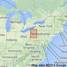
Top 75 ft of sandstone and shale of the Pocono group in Crawford Co. has been correlated with the Burgoon sandstone and is now called by that name. These beds are the Shenango shale and Shenango sandstone of White. The shale that occurs between the Sharon conglomerate above and the sandstone is as much as 60 ft thick.
Source: GNU records (USGS DDS-6; Reston GNULEX).
- Usage in publication:
-
- Shenango formation
- Modifications:
-
- Revised
- AAPG geologic province:
-
- Appalachian basin
Summary:
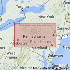
Mapped as Shenango formation of Pocono group. Overlies Cuyahoga formation and underlies Burgoon sandstone.
Source: GNU records (USGS DDS-6; Reston GNULEX).
- Usage in publication:
-
- Shenango Formation
- Modifications:
-
- Overview
- AAPG geologic province:
-
- Appalachian basin
Summary:
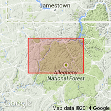
Author follows usage of Kimmel and Schiner (1970) who divided the Shenango Formation into informal upper and lower members. Upper member was formerly misnamed the Hempfield shale of Caster (1934) and according to Edmunds and others (1979) should be renamed as a separate unit. Maximum thickness of Shenango in Warren Co. is 130 ft. Present only in southern half of the county. Lower member is composed of slabby to flaggy, very fine to medium-grained, light-gray, pinkish-gray, and yellow-gray sandstone; dark-gray shale; and some gray to greenish-gray siltstone. Thickness ranges from 0 to 70 ft. Conformably overlies Cuyahoga Formation. Upper member consists of fissile to subfissile, dark-gray and greenish-gray shale and silty shale; thin-bedded, medium-gray to light-greenish-gray siltstone; and very fine to fine-grained, light-gray sandstone. Thickness of upper member ranges 0 to 90-ft. Unconformably underlies Pennsylvanian Pottsville Formation. Age is Early Mississippian.
Source: GNU records (USGS DDS-6; Reston GNULEX).
For more information, please contact Nancy Stamm, Geologic Names Committee Secretary.
Asterisk (*) indicates published by U.S. Geological Survey authors.
"No current usage" (†) implies that a name has been abandoned or has fallen into disuse. Former usage and, if known, replacement name given in parentheses ( ).
Slash (/) indicates name conflicts with nomenclatural guidelines (CSN, 1933; ACSN, 1961, 1970; NACSN, 1983, 2005, 2021). May be explained within brackets ([ ]).

