The National Geologic Map Database is migrating to a new infrastructure. We apologize for any service disruptions during this process.
|
|---|


- Usage in publication:
-
- Shelikof formation*
- Modifications:
-
- Named
- Biostratigraphic dating
- Dominant lithology:
-
- Sandstone
- Shale
- AAPG geologic province:
-
- Alaska Southwestern region
Capps, S.R., 1923, The Cold Bay district [Alaska]: U.S. Geological Survey Bulletin, 739, p. 77-116.
Summary:
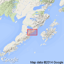
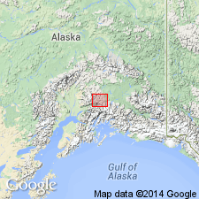
Named for exposures on northwest shore of Shelikof Strait from Katmai Bay, at least as far southwest as Kialagvik and in Cold Bay district, southwestern AK. Lower part at Cold Bay consists mainly of massive sandstone; at Kialagvik sandstone is underlain by poorly exposed shale. Upper part consists of black shale with some limestone lenses in uppermost part. Thickness ranges from 5000 to 7000 ft. Unconformably overlies Kialagvik formation (new). Underlies Naknek formation. Characteristic fossil is ammonite CADOCERAS. Collections were identified by T.W. Stanton. Age is considered to be Late Jurassic.
Source: GNU records (USGS DDS-6; Menlo GNULEX).
- Usage in publication:
-
- Shelikof Formation*
- Modifications:
-
- Age modified
- Biostratigraphic dating
- AAPG geologic province:
-
- Alaska Southwestern region
Summary:
Age is early and middle Callovian and possibly as old as latest Bathonian based on CADOCERAS, KEPPLERITES, and PSEUDOCADOCERAS within unit.
Source: GNU records (USGS DDS-6; Menlo GNULEX).
- Usage in publication:
-
- Shelikof Formation*
- Modifications:
-
- Revised
- AAPG geologic province:
-
- Alaska Southwestern region
Summary:
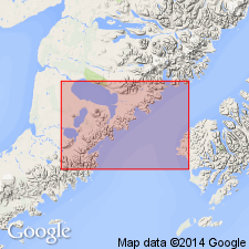
Type section designated along northeast shore of Puale Bay between S/2 sec.9 T28S R38W and sec.19 T28S R37W, Karluk C-4, C-5, and D-5 15' quads, southwestern AK. Principal reference section is at Big Creek and reference section at Alai Creek. Lower contact is redefined as one proposed by Smith (1926) at base of lowermost massive sandstone bed of Shelikof. Lower contact with Kialagvik Formation is conformable at Alai Creek; at Big Creek contact is erosional unconformity. Upper contact is also more complex than one described by Capps (1923). Age is Middle Jurassic based on assignment of unit to early through middle Callovian by Imlay (1975).
Source: GNU records (USGS DDS-6; Menlo GNULEX).
For more information, please contact Nancy Stamm, Geologic Names Committee Secretary.
Asterisk (*) indicates published by U.S. Geological Survey authors.
"No current usage" (†) implies that a name has been abandoned or has fallen into disuse. Former usage and, if known, replacement name given in parentheses ( ).
Slash (/) indicates name conflicts with nomenclatural guidelines (CSN, 1933; ACSN, 1961, 1970; NACSN, 1983, 2005, 2021). May be explained within brackets ([ ]).