The National Geologic Map Database is migrating to a new infrastructure. We apologize for any service disruptions during this process.
|
|---|


- Usage in publication:
-
- Sharps Formation
- Modifications:
-
- Named
- Dominant lithology:
-
- Silt
- Ash
- AAPG geologic province:
-
- Chadron arch
Summary:
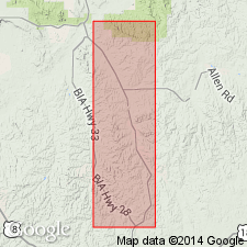
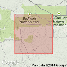
Named as the lowest formation of the Arikaree Group for Sharps corner, Shannon Co, SD on the Chadron arch. The type locality designated for the lower and upper parts. The type for the lower part is in SW1/4 NW1/4 sec 31, T41N, R42W. The type for the upper part is in NW1/4 sec 30, T39N, R43W northeast to NE1/4 sec 20, T39N, R43W. Is composed of pinkish tan, massive, poorly sorted silt with many scattered small gray calcareous nodular concretions. Some lenses of impure limestone with gastropods at several levels. Clastic and chalcedony dikes throughout; channel sands and gravels at several levels. Algal limestones are present in channel deposits. Includes Rockyford Ash (base), about 38 ft thick. Is 390 ft thick. Measured sections. Conformably overlies Brule Formation of White River Group; underlies Monroe Creek Formation of Arikaree Group. Has a vertebrate fauna. Loses character into lower part of Arikaree near Rosebud, Todd Co, SD. Is recognizable 75 mi southwest near Harrison, Sioux Co, NE. Early Miocene age.
Source: GNU records (USGS DDS-6; Denver GNULEX).
- Usage in publication:
-
- Sharps Formation*
- Modifications:
-
- Revised
- AAPG geologic province:
-
- Chadron arch
- Sioux uplift
- Williston basin
Summary:
White volcanic ash at base of Miocene Sharps Formation [of Arikaree Group] named Rockyford Member of Sharps. This ash has been variously assigned to the Sharps, Monroe Creek, Harrison, and Rosebud Formations. Conformably overlies the middle and upper Oligocene Brule Formation [of White River Group]. Report area is in Pennington Co in the Williston basin, Jackson Co on the Sioux uplift, and Shannon Co on the Chadron arch, SD.
Source: GNU records (USGS DDS-6; Denver GNULEX).
- Usage in publication:
-
- Sharps Formation
- Modifications:
-
- Age modified
- Overview
- AAPG geologic province:
-
- Williston basin
- Sioux uplift
Summary:
Rockyford Ash Member at base of Sharps Formation of Arikaree Group is a 3-7 m thick, columnar jointed white ash indicative of an enormous amount of volcanic activity, perhaps from the Black Hills. Rockyford has age of close to 29 m.y., or Oligocene. Upper part of Sharps contains light-colored ashy siltstone and dark brown shale. Claystone granules weathering from the siltstone leave a pocked-weathering appearance. Local channel sandstones at base of formation. More than twelve paleosols identified. Was a near stream and open floodplain deposit laid down in a semi-arid climate with seasonal droughts in latest late Oligocene [not clear whether author thought entire formation is Oligocene, see p. 6, fig. 45, p. 61, or only the lower part is Oligocene]. Report area is in Pennington Co, SD in the Williston basin, and Jackson Co, SD on the Sioux uplift.
Source: GNU records (USGS DDS-6; Denver GNULEX).
For more information, please contact Nancy Stamm, Geologic Names Committee Secretary.
Asterisk (*) indicates published by U.S. Geological Survey authors.
"No current usage" (†) implies that a name has been abandoned or has fallen into disuse. Former usage and, if known, replacement name given in parentheses ( ).
Slash (/) indicates name conflicts with nomenclatural guidelines (CSN, 1933; ACSN, 1961, 1970; NACSN, 1983, 2005, 2021). May be explained within brackets ([ ]).