- Usage in publication:
-
- Shadygrove Formation
- Modifications:
-
- Areal extent
- Dominant lithology:
-
- Limestone
- Chert
- AAPG geologic province:
-
- Appalachian basin (Eastern Overthrust area)
Summary:
Pg. 8 (table 1), 11 (table 3). Shadygrove [Shady Grove] Formation of Conococheague Group. Pure light-colored limestones; stromatolitic in part. Abundant pinkish limestones and cream-colored cherts. Thickness 650 feet. Overlies Zullinger Formation (new). Underlies Staufferstown [Stoufferstown] Formation of Beekmantown Group. Age is Late Cambrian.
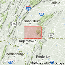
Described from Cumberland Valley, southeastern Franklin Co., central southern PA.
Source: US geologic names lexicon (USGS Bull. 1350, p. 681).

- Usage in publication:
-
- Shadygrove [Shady Grove] Formation
- Modifications:
-
- Principal reference
- Dominant lithology:
-
- Limestone
- Dolomite
- AAPG geologic province:
-
- Appalachian basin
Summary:
Pg. 21-23, 108-113 (App. 1), pl. 1 (geol. map). Shadygrove Formation of Conococheague Group.
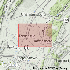
[Village of Shady Grove (2 words) mistakenly labelled Shadygrove (1 word) on the topographic base (pl. 1, geol. map), which was compiled from several USGS 7.5-min quadrangles. Shady Grove (2 words) is name of village (ca. 1860-present) and its post office (1860-1895, and 1968-present); Shadygrove (one word) was name applied to the post office, by the US Postal Service, btw. 1895 and 1968. Located in Greencastle 7.5-min quadrangle, Lat. 39 deg. 46 min. 40 sec. N., Long. 77 deg. 40 min. 07 sec. W., Franklin Co., PA (exerpted from U.S. Board on Geographic Names records, USGS GNIS database, accessed August 27, 2015).]
Named for Shadygrove, Franklin Co., PA. Type section is in a farm field, 0.6 mile south and slightly east of Shadygrove on State Highway 16. Shadygrove used to be the upper part of the Conococheague Formation. This paper raises the Conococheague to group rank and divides it into a lower Zullinger Formation and an upper Shadygrove Formation. Shadygrove is composed of light blue-gray micritic limestone with pinkish cast, light gray weathering micritic algal limestone with muddy gray dolomite laminae and beds, light blue to gray mechanical limestone with grayish buff to yellow-orange seams and laminae of dolomite. Thickness is approximately 650 feet. The contact with the underlying Zullinger is gradational within an interval of thick beds of light colored to pink limestone interbedded with typical limestone and dolomite of Zullinger Formation. Shadygrove underlies the Stoufferstown Formation. Age is considered Late Cambrian based on Trempealeauan trilobites, but it is speculated that the Cambrian-Ordovician boundary may lie as much as 300 feet below the top of the Shadygrove.
[Name later changed to Shady Grove to conform with spelling of town on USGS topographic map.]
Traced northeast to within 2 miles of Mechanicsburg, Cumberland Co., PA.
Source: GNU records (USGS DDS-6; Reston GNULEX).

- Usage in publication:
-
- Shadygrove Formation*
- Modifications:
-
- Overview
- AAPG geologic province:
-
- Appalachian basin
Summary:
Used Shadygrove Formation of Upper Cambrian on correlation chart of PA.
Source: GNU records (USGS DDS-6; Reston GNULEX).
For more information, please contact Nancy Stamm, Geologic Names Committee Secretary.
Asterisk (*) indicates published by U.S. Geological Survey authors.
"No current usage" (†) implies that a name has been abandoned or has fallen into disuse. Former usage and, if known, replacement name given in parentheses ( ).
Slash (/) indicates name conflicts with nomenclatural guidelines (CSN, 1933; ACSN, 1961, 1970; NACSN, 1983, 2005, 2021). May be explained within brackets ([ ]).

