The National Geologic Map Database is migrating to a new infrastructure. We apologize for any service disruptions during this process.
|
|---|


- Usage in publication:
-
- Seminole conglomerate*
- Modifications:
-
- Original reference
- Dominant lithology:
-
- Conglomerate
- Chert
- Sandstone
- AAPG geologic province:
-
- Chautauqua platform
Summary:
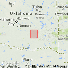
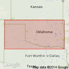
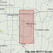
Seminole conglomerate. Lower 50 feet conglomerate of white chert in brown-sand matrix; upper 100 feet brown sandstone. [Unit crops out in rugged hilly country in northwestward part of Coalgate quadrangle, Hughes County, Oklahoma, Chautauqua platform. About 50 feet of lower part of Seminole is exposed in a small area in northwest corner of quadrangle. This part is composed of laminated or stratified subangular chert, with a sprinkling of quartz pebbles from a diameter of 3 inches to small grains in a cement of fine brown and usually ferruginous sand. The coarser conglomerate in the beds at the base is loosely cemented, and on weathered surfaces it breaks down into rounded boulders and loose gravel. 40 to 50 feet from base the conglomerate grades into brown sandstone which continues upward about 100 feet to top of formation.] Overlies Holdenville shale (new); [underlying strata not discussed]. Is youngest Carboniferous formation in area. Age is Pennsylvanian. [Report includes geologic map, columnar section.]
[Intent to name not stated, and no type locality designated.]
Source: US geologic names lexicon (USGS Bull. 896, p. 1953-1954); supplemental information (in brackets) from GNU records (USGS DDS-6; Denver GNULEX).
- Usage in publication:
-
- Seminole conglomerate
- Modifications:
-
- Overview
- Dominant lithology:
-
- Conglomerate
- AAPG geologic province:
-
- Chautauqua platform
Summary:
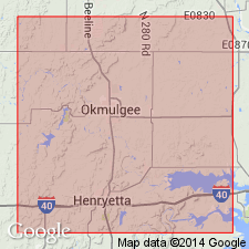
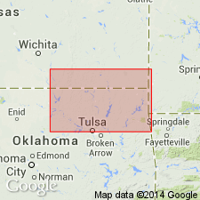
Pg. 282-292. Overlying Holdenville shale in Okmulgee district, Oklahoma, is a conglomerate which in writers' opinion is to be correlated with Seminole conglomerate as mapped by Taff in Coalgate folio. Its thickness is 15 to 355 feet. In some places the conglomerate is at base, in other places at top, and in still other places it forms lenses in sandstone. It is overlain by 100 to 200 feet of shale that belongs to Tulsa group. [Tulsa group is older than Seminole conglomerate.]
Source: US geologic names lexicon (USGS Bull. 896, p. 1953-1954).
- Usage in publication:
-
- Seminole formation
- Modifications:
-
- Revised
- AAPG geologic province:
-
- Chautauqua platform
Summary:
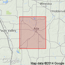
Seminole formation. In Stonewall quadrangle [Pontotoc County, Oklahoma], the Seminole formation is 150+/- feet thick and consists of (descending): (1) almost unbroken greenish-blue shale, 15 to 30 feet; (2) conglomerates and sandstones become thinner and percentage of shale increases over No. 3, 70 to 85 feet; (3) chert conglomerates or coarse brown sandstones, "the 50-foot conglomeratic phase of type area," 30 to 50 feet. Overlies Holdenville formation with local unconformity. Is overlain by newly discriminated Francis formation, to be described in forthcoming paper [see Morgan (1924) entry], the basal member of which is here named the [DeNay] limestone member. This limestone is included in Francis formation, instead of Seminole formation, because Taff did not mention any limestone member in the Seminole. It lies 150+/- feet above base of Seminole formation, which is thickness of Seminole as given by Taff.
Source: US geologic names lexicon (USGS Bull. 896, p. 1953-1954).
- Usage in publication:
-
- Seminole formation
- Modifications:
-
- Revised
- AAPG geologic province:
-
- Chautauqua platform
- Arkoma basin
Summary:
Upper contact of Seminole formation revised locally in report area, Stonewall quadrangle, Seminole and Pontotoc Counties, Oklahoma [Chautauqua platform and Arkoma basin]. In the extreme northeastern part of quadrangle, in Seminole County, Oklahoma [Chautauqua platform], the Seminole is overlain by newly named DeNay limestone member, basal part of newly named Francis formation. This is the only occurrence of DeNay in the quadrangle. Age of Seminole is Pennsylvanian. Report includes geologic cross section.
Source: Modified from GNU records (USGS DDS-6; Denver GNULEX).
- Usage in publication:
-
- Seminole conglomerate
- Modifications:
-
- Areal extent
- AAPG geologic province:
-
- Chautauqua platform
- Arkoma basin
Summary:
Pg. 48. Seminole conglomerate consists of 20 to 150 feet of conglomerate of white chert in brown matrix succeeded by brown sandstone. It extends northeast from central Pontotoc County, crossing Seminole, Okfuskee, and Creek Counties [Oklahoma].
Source: US geologic names lexicon (USGS Bull. 896, p. 1953-1954).
- Usage in publication:
-
- [Seminole formation]
- Modifications:
-
- Overview
- AAPG geologic province:
-
- [Chautauqua platform]
Summary:
Pg. 40 (table). Included in Skiatook group.
Source: US geologic names lexicon (USGS Bull. 1200, p. 3521-3522).
- Usage in publication:
-
- Seminole formation
- Modifications:
-
- Principal reference
- AAPG geologic province:
-
- Chautauqua platform
- Arkoma basin
Summary:
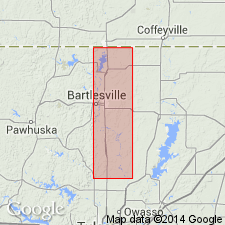
Pg. 23-26. Use of name Seminole formation extended into northeast Oklahoma and applied to shale and sandstone unit lying above unconformity at base of [Missourian] and below base of Checkerboard limestone. North of Talala, uppermost Des Moines bed is Lenapah limestone; in vicinity of Oologah, it is Nowata shale; and near Tulsa, it is the Memorial shale.
Type locality stated: southeast part of Seminole [Indian] Nation, now Seminole Co. (probably T. 6 N., R. 7 and 8 E.).
Source: US geologic names lexicon (USGS Bull. 1200, p. 3521-3522).
- Usage in publication:
-
- [Seminole formation]
- Modifications:
-
- Overview
- AAPG geologic province:
-
- Chautauqua platform
- Arkoma basin
Summary:
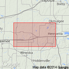
Pg. 47-52. [Seminole formation.] In type area, lies above Holdenville formation and below Francis formation. Morgan (1924, Oklahoma Geol. Survey Bull., no. 2) found that in Pontotoc County the Seminole is overlapped by the Ada formation which normally occurs about 800 feet higher in the section. In Okfuskee and Tulsa Counties and northward, the Seminole lies above the Holdenville and below the Checkerboard.
Source: US geologic names lexicon (USGS Bull. 1200, p. 3521-3522).
- Usage in publication:
-
- [Seminole formation]
- Modifications:
-
- Overview
- AAPG geologic province:
-
- Chautauqua platform
Summary:
Pg. 54-62. [Seminole formation.] Further described in Seminole County [Oklahoma].
Source: US geologic names lexicon (USGS Bull. 1200, p. 3521-3522).
- Usage in publication:
-
- Seminole Formation
- Modifications:
-
- Revised
- AAPG geologic province:
-
- Forest City basin
Summary:
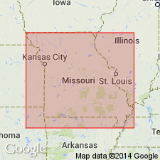
Is lowermost formation of Pleasanton Group in western Missouri [Forest City basin]. Conformably underlies Lees Summit Formation (new) of Pleasanton Group; unconformably overlies Marmaton Group. Divided into two members (in ascending order), Hepler Sandstone and South Mound Shale Member. Age is Late Pennsylvanian (early Missourian). Report includes correlation chart, measured sections.
Source: Modified from GNU records (USGS DDS-6; Denver GNULEX).
For more information, please contact Nancy Stamm, Geologic Names Committee Secretary.
Asterisk (*) indicates published by U.S. Geological Survey authors.
"No current usage" (†) implies that a name has been abandoned or has fallen into disuse. Former usage and, if known, replacement name given in parentheses ( ).
Slash (/) indicates name conflicts with nomenclatural guidelines (CSN, 1933; ACSN, 1961, 1970; NACSN, 1983, 2005, 2021). May be explained within brackets ([ ]).