

- Usage in publication:
-
- Scott Peak Formation
- Modifications:
-
- Named
- Dominant lithology:
-
- Limestone
- AAPG geologic province:
-
- Idaho Mountains province
- Snake River basin
Summary:
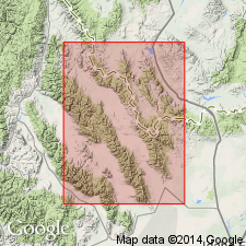
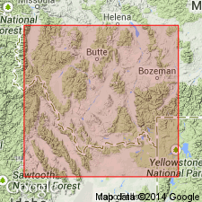
Named as one of four new formations of White Knob Group (raised in stratigraphic rank) for exposures at Scott Peak, Beaverhead Range, Lemhi Co, ID, Idaho Mountains province. Type section is in small tributary east side, East Canyon, south side Lemhi Range, Butte Co, ID, Snake River basin. Overlies Middle Canyon Formation (new), basal formation of White Knob. Basal contact of Scott Peak is chosen at base of first coarse, light-gray, crinoidal calcarenite bed. Upper contact is one of mixed crystalline or bioclastic calcarenite limestone and easily weathered, dark, fine-grained limestone (Scott Peak) with thin-bedded, dark-gray limestone (South Creek Formation, new, of White Knob). Consists, at type, of 2,500 ft of limestone that can be divided into three members throughout the miogeosyncline and transition zone. Lower cyclic member is a 650 ft thick calcarenite (crinoid and bryozoan debris), dark, fine-grained, chert-bearing limestone with a thin calcareous quartz siltstone in the middle. Middle massive member is very fine to coarser, cliff-forming limestone 50-150 ft thick. Upper cyclic member is chert-bearing, fine-grained limestone, crystalline calcarenites, and crinoidal calcarenite 750 ft thick. Algal material observed. Corals. A shallow-water marine deposit. Columnar section. East of the miogeosyncline, term Madison Group used. Of Osage and Meramec age based on goniatite found in middle part.
Source: GNU records (USGS DDS-6; Denver GNULEX).
- Usage in publication:
-
- Scott Peak Formation*
- Modifications:
-
- Biostratigraphic dating
- Age modified
- Reference
- Dominant lithology:
-
- Limestone
- AAPG geologic province:
-
- Snake River basin
- Idaho Mountains province
Summary:
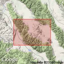
Three members distinguished by Huh (1967) in the Lemhi Range are not recognized in the Hawley Mountains, Butte Co, ID, Snake River basin, where massive noncherty limestone are present throughout the formation and not concentrated in the middle part. Reference section about 2,300 ft thick designated as in NW1/4 NW1/4 to SE1/4 SE1/4 sec 25, T9N, R26E, Butte Co where formation is a limestone and cherty limestone. Thickness is 2,080 ft in Doublespring quad, (Custer Co, Idaho Mountains province) and 2,040 ft in Hawley Mountain quad. Divided into microfaunal zones as old as Foraminifera Zone 13 upward to Foraminifera Zone 16i, and in the eastern sections where the formation is slightly younger, it includes Foraminifera Zone 16s. Forams listed. Scott Peak ranges from late middle Visean or Meramecian to late Visean or early Chesterian, an age modification from Osage and Meramec. Correlation chart. Cross section. Overlies Middle Canyon Formation; underlies South Creek Formation. [Term White Knob Group (Huh, 1967) not used.] Assigned to megafossil Zone E (upper part), F, pre-K, and K.
Source: GNU records (USGS DDS-6; Denver GNULEX).
- Usage in publication:
-
- Scott Peak Formation*
- Modifications:
-
- Contact revised
- AAPG geologic province:
-
- Montana folded belt
Summary:
Upper contact revised in that Scott Peak Formation underlies the Railroad Canyon Formation (new) in Railroad Canyon, ID in the Montana folded belt province.
Source: GNU records (USGS DDS-6; Denver GNULEX).
For more information, please contact Nancy Stamm, Geologic Names Committee Secretary.
Asterisk (*) indicates published by U.S. Geological Survey authors.
"No current usage" (†) implies that a name has been abandoned or has fallen into disuse. Former usage and, if known, replacement name given in parentheses ( ).
Slash (/) indicates name conflicts with nomenclatural guidelines (CSN, 1933; ACSN, 1961, 1970; NACSN, 1983, 2005, 2021). May be explained within brackets ([ ]).