The National Geologic Map Database is migrating to a new infrastructure. We apologize for any service disruptions during this process.
|
|---|


- Usage in publication:
-
- Scherr Formation
- Modifications:
-
- Named
- Dominant lithology:
-
- Siltstone
- Sandstone
- Shale
- AAPG geologic province:
-
- Appalachian basin
Summary:
Unit is here named for village of Scherr in Grant Co., WV, and assigned to the newly named Greenland Gap Group, which replaces the name Chemung Formation in report area. Scherr Formation consists predominantly of siltstone and shale. Lower part of unit includes considerable fine-grained sandstone, while upper two thirds contains almost no sandstone. Weathers light olive gray. Unit measures 1004 ft (200 m) at type. Eastward, unit becomes unrecognizable at VA border and consequently is restricted to WV border at this time. Disconformably underlies newly named Foreknobs Formation (Greenland Gap Group); overlies Brallier Formation. Age is Late Devonian.
Source: GNU records (USGS DDS-6; Reston GNULEX).
- Usage in publication:
-
- Scherr Formation*
- Modifications:
-
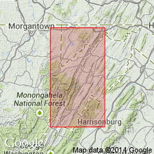
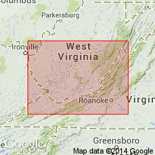
- Areal extent
- AAPG geologic province:
-
- Appalachian basin
Summary:
Scherr and Foreknobs Formations of Dennison (1970) here geographically extended into south-central PA and adopted for use by the USGS in the report area and in their type locality state of WV. Greenland Gap Group not used in this report.
Source: GNU records (USGS DDS-6; Reston GNULEX).
- Usage in publication:
-
- Scherr Formation
- Modifications:
-
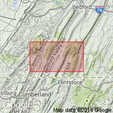
- Areal extent
- AAPG geologic province:
-
- Appalachian basin
Summary:
Scherr and Foreknobs Formations are not recognized in the subsurface of WV, west of the Allegheny Front; therefore, Greenland Gap is reduced to formation rank in that area where it replaces use of the term "Chemung." Uppermost members of the Foreknobs are retained as members of the Greenland Gap Formation.
Source: GNU records (USGS DDS-6; Reston GNULEX).
- Usage in publication:
-
- Scherr Formation
- Modifications:
-
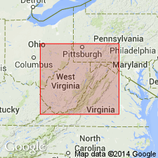
- Areal extent
- AAPG geologic province:
-
- Appalachian basin
Summary:
Arbitrary stratigraphic cutoffs are drawn where formational diagnostic characteristics are lost by facies change. The Scherr Formation ends at the WV-VA boundary because it becomes finer grained and the last sandstone disappears. It passes laterally into the Brallier Formation. Although the Minnehaha Springs Member turbidite bundle loses its sand southwestward, a siltstone bundle can still be indentified as the Minnehaha Springs within the Brallier Formation as far southwest as White Sulphur Springs.
Source: GNU records (USGS DDS-6; Reston GNULEX).
For more information, please contact Nancy Stamm, Geologic Names Committee Secretary.
Asterisk (*) indicates published by U.S. Geological Survey authors.
"No current usage" (†) implies that a name has been abandoned or has fallen into disuse. Former usage and, if known, replacement name given in parentheses ( ).
Slash (/) indicates name conflicts with nomenclatural guidelines (CSN, 1933; ACSN, 1961, 1970; NACSN, 1983, 2005, 2021). May be explained within brackets ([ ]).