- Usage in publication:
-
- Savanna sandstone*
- Modifications:
-
- Original reference
- Dominant lithology:
-
- Sandstone
- Shale
- AAPG geologic province:
-
- Arkoma basin
Summary:
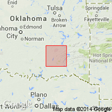
Pg. 437. Savanna sandstone. Shales, with 5 heavy ridge-making sandstones, 50 to 200 feet thick, the sandstone at top and base being usually thicker than the other sandstones, the distinctive feature of the formation being the sandstones (brown or grayish-brown, fine-grained, and compact, generally thin and in part shaly). Thickness 1,150 feet. Overlies McAlester shale and underlies Boggy shale. Age is Pennsylvanian (Allegheny). Report includes geologic map.
[GNC remark (ca. 1938): This name was later misapplied in Arkansas, as explained under McAlester formation.]
Named from Savanna, McAlester coal district, McAlester quadrangle, Pittsburg Co., eastern OK, which is located on the formation. Also occurs in the Lehigh coal district, Atoka and Colgate quadrangles, eastern OK, where sandstones become chert breccias. [According to GNU records (USGS DDS-6; Denver GNULEX, Aug. 1, 1988), type locality not designated.]
Source: US geologic names lexicon (USGS Bull. 896, p. 1935); supplemental information from GNU records (USGS DDS-6; Denver GNULEX).

- Usage in publication:
-
- Savanna sandstone*
- Modifications:
-
- Revised
- AAPG geologic province:
-
- Chautauqua platform
Summary:
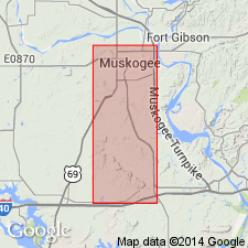
Is recognized in Muskogee Co, OK on the Chautauqua platform as a formation (1 of 5) that replaces use of the Winslow formation in this area. [Preferred use of Winslow in this study not clearly stated.] Includes the following members (ascending order): Tamaha sandstone (new), Keota sandstone (new), Spaniard limestone, Sam Creek limestone (new), Spiro sandstone (new), and Bluejacket sandstone members. Also contains the Cavanal coal. Thickness of the Savanna ranges from 332 ft 10 inches in T10N to 170 ft in T15N. The two limestone members can be seen as far south as T13N; thicken northward; in T13N, they average approximately 10 inches thick and are separated by about 60 ft of shale. Conformably overlies McAlester shale and conformably underlies Boggy shale. Stratigraphic table. Columnar section. Composite sections. Geologic map. Of Early Pennsylvanian age.
Source: GNU records (USGS DDS-6; Denver GNULEX).
For more information, please contact Nancy Stamm, Geologic Names Committee Secretary.
Asterisk (*) indicates published by U.S. Geological Survey authors.
"No current usage" (†) implies that a name has been abandoned or has fallen into disuse. Former usage and, if known, replacement name given in parentheses ( ).
Slash (/) indicates name conflicts with nomenclatural guidelines (CSN, 1933; ACSN, 1961, 1970; NACSN, 1983, 2005, 2021). May be explained within brackets ([ ]).

