- Usage in publication:
-
- Saugus division
- Modifications:
-
- Named
- Dominant lithology:
-
- Sand
- Gravel
- Clay
- AAPG geologic province:
-
- Los Angeles basin
Summary:
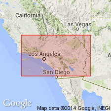
Unit is named the Saugus division. Consists of unlithified sand, gravel, and clay, stratified, water-worn, and water-deposited. Is an alluvial deposit, a river delta progressively sinking. Thickness is 2,000 ft. Conformably overlies the Soledad division. Age is late Pliocene. (B896)
Source: GNU records (USGS DDS-6; Menlo GNULEX).

- Usage in publication:
-
- Saugus formation*
- Modifications:
-
- Adopted
- Biostratigraphic dating
- AAPG geologic province:
-
- Los Angeles basin
- Ventura basin
Summary:
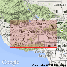
Saugus division of Hershey (1902) is adopted as the Saugus formation of the Fernando group. Consists mainly of light-colored sand and gravel, usually unconsolidated, with interbedded soft fine sandstone. Thickness is approximately 2,000 ft. In most places rests unconformably on the Pico or lower formation of the Fernando group; unconformably overlain by Pleistocene terrace deposits. Age is late Pliocene and early Pleistocene based on fossils [mollusks, echinoderms, bryozoans].
Source: GNU records (USGS DDS-6; Menlo GNULEX).

- Usage in publication:
-
- Saugus formation*
- Modifications:
-
- Revised
- AAPG geologic province:
-
- Ventura basin
Summary:
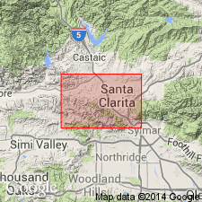
Saugus formation is revised to include a lower member, the Sunshine Ranch member. Age is late Pliocene and early Pleistocene.
Source: GNU records (USGS DDS-6; Menlo GNULEX).
For more information, please contact Nancy Stamm, Geologic Names Committee Secretary.
Asterisk (*) indicates published by U.S. Geological Survey authors.
"No current usage" (†) implies that a name has been abandoned or has fallen into disuse. Former usage and, if known, replacement name given in parentheses ( ).
Slash (/) indicates name conflicts with nomenclatural guidelines (CSN, 1933; ACSN, 1961, 1970; NACSN, 1983, 2005, 2021). May be explained within brackets ([ ]).

