- Usage in publication:
-
- Santee marl
- Modifications:
-
- Named
- Dominant lithology:
-
- Marl
- AAPG geologic province:
-
- Atlantic Coast basin
Summary:
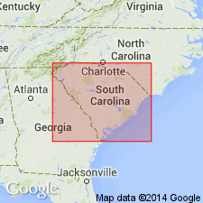
Named for Santee River in SC. Consists of high-grade marls of a yellow-white color and compact texture. Underlies Cooper marls. Considered to be of Eocene (Jacksonian) age.
Source: GNU records (USGS DDS-6; Reston GNULEX).
- Usage in publication:
-
- Santee limestone*
- Modifications:
-
- Age modified
- Biostratigraphic dating
- AAPG geologic province:
-
- Atlantic Coast basin
Summary:
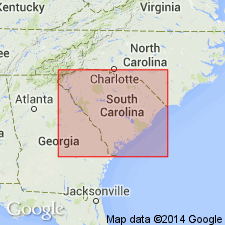
Santee limestone is of Claibornian (Eocene) age and not Jacksonian as previously supposed. This is based on the OSTREA SELLAEFORMIS zone.
Source: GNU records (USGS DDS-6; Reston GNULEX).
- Usage in publication:
-
- Santee Limestone*
- Modifications:
-
- Areal extent
- AAPG geologic province:
-
- Atlantic Coast basin
Summary:
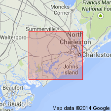
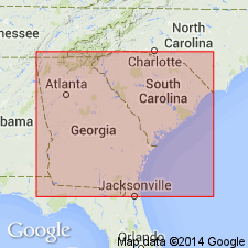
The middle to outer shelf Moultrie Member and the deeper-water Cross Member of the Santee Limestone occur south of Cape Fear in SC and GA.
Source: GNU records (USGS DDS-6; Reston GNULEX).
- Usage in publication:
-
- Santee Limestone
- Modifications:
-
- Revised
- AAPG geologic province:
-
- Atlantic Coast basin
Summary:
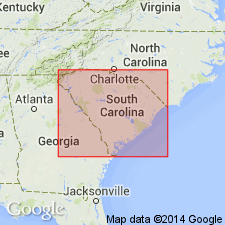
Authors follow Colquhoun and others (1983) and Nystrom and others (this volume) and herein assign all middle Eocene sediments of the outer Coastal Plain of SC to the Orangeburg Group. Therefore, in the outer Coastal Plain, the group includes the Congaree Formation, the Santee Limestone, and the lower part of the Cross Formation. [This last assignment is in conflict with the 1983 Code, Art. 28(b). The Cross Formation was determined to be one depositional sequence of middle and late Eocene age by Zullo and Harris (1987).]
Source: GNU records (USGS DDS-6; Reston GNULEX).
- Usage in publication:
-
- Santee Limestone
- Modifications:
-
- Revised
- AAPG geologic province:
-
- Atlantic Coast basin
Summary:
Though Siple (1967) referred to the beds overlying the Warley Hill as the McBean Formation, authors are using term Santee because of priority. They informally refer to the light-colored, calcareous part of the section as the "McBean beds," the gray and green, laminated, calcareous part as the "Blue Bluff beds," and the siliciclastic part as the "Tims Branch beds." The Santee is late middle Eocene based on dinoflagellates, calcareous nannofossils, and other taxa.
Source: GNU records (USGS DDS-6; Reston GNULEX).
- Usage in publication:
-
- Santee Limestone
- Modifications:
-
- Overview
- AAPG geologic province:
-
- Atlantic Coast basin
Summary:
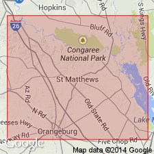
Santee Limestone used for calcareous sediments overlying the Warley Hill in the study area instead of "McBean" or "Lisbon." Authors are waiting for a more precise and useful definition of "McBean" before they incorporate it into their stratigraphic column. Santee is laterally gradational with the informal Blue Bluff unit (Blue Bluff beds of Santee Limestone of Fallaw and others, 1992) and the Tinker Creek Formation (new) (formerly Tims Branch beds of Santee Limestone of Fallaw and others, 1992). Underlies the Clinchfield Formation or the informal Orangeburg District bed of Dockery and Nystrom (1992). Correlates in part with the Lisbon Formation of the Gulf Coast. Assigned to zone NP 16 (middle Eocene, middle Claibornian) based on calcareous nannoplankton, palynomorph assemblages, and other fossils. Probably deposited in an inner to middle neritic environment.
Source: GNU records (USGS DDS-6; Reston GNULEX).
- Usage in publication:
-
- Santee Limestone
- Modifications:
-
- Revised
- AAPG geologic province:
-
- Atlantic Coast basin
Summary:
Authors exclude from the Santee Limestone, glauconitic strata containing CUBITOSTREA LISBONENSIS that occurs below the Chapel Branch Member at Wilson's Landing, SC, and vicinity. They state that these beds represent a separate, unnamed, locally thin formation that correlates with the Warley Hill Formation of updip areas.
Source: GNU records (USGS DDS-6; Reston GNULEX).
- Usage in publication:
-
- Santee Limestone
- Modifications:
-
- Overview
- AAPG geologic province:
-
- Atlantic Coast basin
Summary:
Santee is laterally gradational with the formally proposed Tinker Formation (Tinker Creek Formation of Fallaw and Price, 1992).
Source: GNU records (USGS DDS-6; Reston GNULEX).
For more information, please contact Nancy Stamm, Geologic Names Committee Secretary.
Asterisk (*) indicates published by U.S. Geological Survey authors.
"No current usage" (†) implies that a name has been abandoned or has fallen into disuse. Former usage and, if known, replacement name given in parentheses ( ).
Slash (/) indicates name conflicts with nomenclatural guidelines (CSN, 1933; ACSN, 1961, 1970; NACSN, 1983, 2005, 2021). May be explained within brackets ([ ]).

