- Usage in publication:
-
- Santa Cruz Mudstone*
- Modifications:
-
- Named
- Dominant lithology:
-
- Mudstone
- AAPG geologic province:
-
- California Coast Ranges province
Summary:
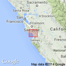
Santa Cruz Mudstone named by Clark (1966, PhD thesis) is part of a 3500-ft thick sequence in central Santa Cruz Mountains which includes (ascending): Santa Margarita Sandstone, Santa Cruz Mudstone of Clark (1966), and Purisima Formation. Consists of pale-yellowish-brown siliceous organic marine mudstone. Map legend shows age of unit as late Miocene and early Pliocene.
Source: GNU records (USGS DDS-6; Menlo GNULEX).

- Usage in publication:
-
- Santa Cruz Mudstone*
- Modifications:
-
- Adopted
- Age modified
- Biostratigraphic dating
- AAPG geologic province:
-
- California Coast Ranges province
Summary:
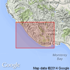
Santa Cruz Mudstone, named by Clark (1966) for city of Santa Cruz is adopted. Rocks were mapped as Santa Margarita Shale to east of Ben Lomond Mountain by Branner and others (1909) and as Monterey Shale to west by subsequent workers. Type section designated from base conformably overlying Santa Margarita Sandstone on east side of Moore Creek canyon (SE/4 sec.15 T11S R2W), southward 2.4 km down canyon to coast at Natural Bridges State Park, eastward for 1.6 km along sea cliffs to contact with unconformably overlying Purisima Formation (S/2 sec.23 T11S R2W), Santa Cruz 5x11' quad. Mudstone contains thin porcelanite lenses and carbonate concretions. Is about 140 m thick at type section. Age is late Miocene in terms of European standards based on micro- and megafossils. Geologic maps included.
Source: GNU records (USGS DDS-6; Menlo GNULEX).

- Usage in publication:
-
- Santa Cruz Mudstone*
- Modifications:
-
- Areal extent
- Biostratigraphic dating
- AAPG geologic province:
-
- California Coast Ranges province
Summary:
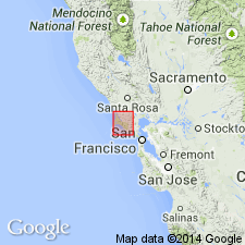
Santa Cruz Mudstone geographically extended from Santa Cruz Mountains into Point Reyes area, Marin Co, CA, along San Gregorio fault on basis of similar stratigraphic relations, lithologies, and fossils. Rocks formerly mapped by Galloway (1977) as part of Monterey Shale and Drakes Bay Formation. Santa Cruz Mudstone is discontinuously exposed in coastal area near Double Point and near Bolinas where it is more than 1000 m thick. Consists mainly of thick bedded siliceous mudstone, locally with bituminous sandstone interbeds, conformably overlying Santa Margarita Sandstone and underlying Purisima Formation. Age is late Miocene based on benthic foraminifers (Delmontian) and diatoms, identified by J.A. Barron as late late Miocene in age.
Source: GNU records (USGS DDS-6; Menlo GNULEX).
For more information, please contact Nancy Stamm, Geologic Names Committee Secretary.
Asterisk (*) indicates published by U.S. Geological Survey authors.
"No current usage" (†) implies that a name has been abandoned or has fallen into disuse. Former usage and, if known, replacement name given in parentheses ( ).
Slash (/) indicates name conflicts with nomenclatural guidelines (CSN, 1933; ACSN, 1961, 1970; NACSN, 1983, 2005, 2021). May be explained within brackets ([ ]).

