- Usage in publication:
-
- Salamonie Dolomite
- Modifications:
-
- Named
- Dominant lithology:
-
- Dolomite
- AAPG geologic province:
-
- Cincinnati arch
Summary:
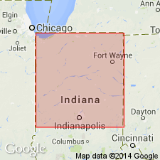
Salamonie Dolomite named in this report to replace term Osgood-Laurel of older reports. Unit overlies the Brassfield Limestone and underlies the Waldron Formation in northern IN. In northernmost IN, where Waldron cannot be recognized, the Salamonie is overlain by dolomitic rocks herein referred to Salina Formation. In much of northern third of IN, the Salamonie is divisible into three unnamed members. Lower corresponds to basal chert and impure rocks in type area (near Portland, Jay Co). It is light-gray and tan dense to fine-grained argillaceous dolomite and dolomitic limestone. Chert is abundant. Middle member corresponds to upper rock in type section. It is light-gray to white granular porous vuggy dolomite having secondary dolomite rhombohedrons and sparry dolomite. Upper member, not present in type area, consists of gray, tan, and brown limestone and dolomite that wedge out southward in central IN. Thickness 135 ft at type section where top has been removed by erosion. Two counties west of type area, in high places on Cincinnati Arch where entire unit is present, average thickness is about 90 ft. Thickness increases northward to more than 200 ft in flanking part of Michigan basin and northwestward to 180 ft near IL State line. Southwest of type area, rocks equivalent to lower part of Salamonie are called Osgood Formation and rocks equivalent to upper part of Salamonie are called Laurel Limestone. Type section, principal reference, and additional reference sections designated. Age is Middle Silurian (Niagaran).
Source: GNU records (USGS DDS-6; Reston GNULEX).
- Usage in publication:
-
- Salamonie Dolomite
- Modifications:
-
- Revised
- AAPG geologic province:
-
- Cincinnati arch
Summary:
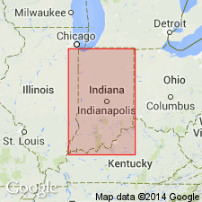
In southern IN, the Salamonie is subdivided into the Osgood Member and Laurel Limestone Member (both reduced in rank). In the north, the Laurel and Osgood Members are much more dolomitic and are difficult to differentiate. [See also French, R.R., 1967: Crushed stone resources of the Devonian and Silurian carbonate rocks of Indiana: Indiana Geological Survey Bulletin 37, 127 p.]
Source: GNU records (USGS DDS-6; Reston GNULEX).
- Usage in publication:
-
- Salamonie Dolomite
- Modifications:
-
- Revised
- AAPG geologic province:
-
- Cincinnati arch
Summary:
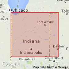
Salamonie Dolomite stratigraphically restricted. Uppermost brown unnamed dolomite member assigned to newly named Limberlost Dolomite.
Source: GNU records (USGS DDS-6; Reston GNULEX).
- Usage in publication:
-
- Salamonie Dolomite
- Modifications:
-
- Revised
- AAPG geologic province:
-
- Cincinnati arch
Summary:
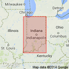
The lower, approximate Osgood equivalent of the Salamonie is here reassigned to the Stroh Member of the Cataract Formation in northeastern IN.
Source: GNU records (USGS DDS-6; Reston GNULEX).
- Usage in publication:
-
- Salamonie Dolomite
- Modifications:
-
- Overview
- AAPG geologic province:
-
- Cincinnati arch
Summary:
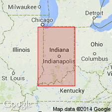
The Salamonie has several boundaries with others units. In northern IN, it overlies the Brassfield Limestone, the Sexton Creek Limestone, or the Cataract Formation. Also in this area, a lower part of the Salamonie has a vertical cutoff boundary with the upper part of the Cataract, so that the oldest Salamonie rocks are in northwestern counties, overlying the Sexton Creek. In southern IN, the Salamonie overlies the Brassfield and Sexton Creek Limestones, and in a small area, Ordovician rocks. In southwestern IN, the Salamonie has a vertical cutoff boundary with the lower half of the St. Clair Limestone. In most of northern IN, the Salamonie underlies the Pleasant Mills Formation, and in the rest of the state it underlies the Waldron Shale or the Louisville Limestone. The upper contact is conformable; the lower one is unconformable except in far northwestern IN and in northeastern IN where the Salamonie overlies the Stroh Member of the Cataract. Unit consists of two principal lithologies. Lower Salamonie rocks are generally impure and include finer grained argillaceous limestone, dolomitic limestone, dolomite, and shale (Osgood Member). The upper rocks are much purer and consist of whitish coarser grained bioclastic vuggy dolomite in much of the state. Chert is present locally within the Salamonie, mostly in the upper, Laurel Member in part of southeastern IN. The upper Salamonie also has a pure carbonate reef facies in many places in Iniana, from the Illinois basin to northeastern IN. The Salamonie ranges in thickness from zero to about 60 ft in southeastern IN, is about 140 ft near its type section, and is more than 250 ft in far northeastern IN. The entire Salamonie is equivalent to the lower St. Clair rocks of the Illinois basin. It also correlates, either closely or approximately, to the Osgood Formation and Laurel Limestone of KY, the Dayton Formation through the middle part of the Lockport Group in western OH, the Estill shale through Peebles Dolomite in southern OH, the Clinton and Niagara Groups of MI, and the Joliet Dolomite of northern IL and southeastern WI. Llandoverian and Wenlockian age is based on the brachiopod guide fossil PENTAMERUS OBLONGUS, three conodont assemblage zones, and abundant ammodiscid foraminifers.
Source: GNU records (USGS DDS-6; Reston GNULEX).
For more information, please contact Nancy Stamm, Geologic Names Committee Secretary.
Asterisk (*) indicates published by U.S. Geological Survey authors.
"No current usage" (†) implies that a name has been abandoned or has fallen into disuse. Former usage and, if known, replacement name given in parentheses ( ).
Slash (/) indicates name conflicts with nomenclatural guidelines (CSN, 1933; ACSN, 1961, 1970; NACSN, 1983, 2005, 2021). May be explained within brackets ([ ]).

