The National Geologic Map Database is migrating to a new infrastructure. We apologize for any service disruptions during this process.
|
|---|


- Usage in publication:
-
- Rush Springs member
- Modifications:
-
- Original reference
- Dominant lithology:
-
- Sandstone
- AAPG geologic province:
-
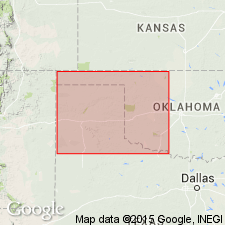
- Anadarko basin
- South Oklahoma folded belt
Summary:
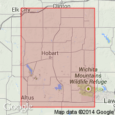
Two divisions of Whitehorse sandstone can be recognized in Kiowa and Washita Counties, [Wichita Mountains region, southwestern Oklahoma]. The lower (Marlow member) consists of red even-bedded sandstones and red shales, with some regular bands of fine white sand and much disseminated gypsum; the upper (Rush Springs member) consists almost entirely of red cross-bedded sandstone and has little or no shale or gypsum in this area. The Rush Springs member is Whitehorse sandstone of Reeves. In Grady County, [Wichita Mountains region, southwestern Oklahoma], the Marlow member is 110 feet thick and Rush Springs member 240 to 280 feet thick. The Greenfield dolomite is near boundary between Marlow and Rush Springs members. In Kiowa and Washita Counties Whitehorse sandstone is overlain by Cloud Chief formation. [Age is Permian.]
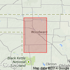
[Apparently named from Rush Springs, Grady Co., Wichita Mountains region, southwestern OK.]
Source: US geologic names lexicon (USGS Bull. 896, p. 1856-1857).
- Usage in publication:
-
- Rush Springs member
- Modifications:
-
- Areal extent
- AAPG geologic province:
-
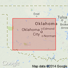
- Anadarko basin
- South Oklahoma folded belt
Summary:
Pg. 48, 50. The name Marlow (for basal Whitehorse sandstone, 110 to 135 feet thick) and Rush Springs (for upper Whitehorse sandstone, 250 to 300 feet thick) are suggested by R.W. Sawyer and F.C. Greene. The upper Whitehorse or Rush Springs seems to be nearly all windblown sand, although local clay and gypsum deposits indicate presence of shallow ponds and small lakes within area of the Permian desert.
[Origin of name not stated.]
Source: US geologic names lexicon (USGS Bull. 896, p. 1856-1857).
- Usage in publication:
-
- Rush Springs member
- Modifications:
-
- Not used
- AAPG geologic province:
-
- Anadarko basin
Summary:
Pg. 434-437. Evans' [1931] grouping of Marlow, Rush Springs, and Cloud Chief in a single unit is a logical step, but his separation and correlation of the members within that group is open to serious question. [Long discussion.]
Source: US geologic names lexicon (USGS Bull. 896, p. 1856-1857).
- Usage in publication:
-
- Rush Springs
- Modifications:
-
- Revised
- AAPG geologic province:
-
- Anadarko basin
Summary:
Pg. 408, 415-431. The top of Rush Springs is base of the Cloud Chief. The Rush Springs is "Whitehorse" of Reeves' report on Cement field, Oklahoma (USGS Bull. 726-B, 1921). (See also under Marlow formation.)
Source: US geologic names lexicon (USGS Bull. 896, p. 1856-1857).
- Usage in publication:
-
- Rush Springs member
- Modifications:
-
- Areal extent
- AAPG geologic province:
-
- Anadarko basin
Summary:
Stated that Rush Springs member of Whitehorse sandstone overlies Marlow member of the Whitehorse and underlies Weatherford dolomite. [Age is Permian.]
Source: US geologic names lexicon (USGS Bull. 896, p. 1856-1857).
- Usage in publication:
-
- Rush Springs sandstone
- Modifications:
-
- Revised
- AAPG geologic province:
-
- Anadarko basin
Summary:
Pg. 1454-1475. Rush Springs sandstone is given formation rank, because of unconformity at its base and at its top. It underlies Quatermaster formation. (Cloud Chief is grouped with the Quatermaster rather than with Rush Springs in the Whitehorse Group.) Underlies Weatherford dolomite. [Age is Permian.]
Source: US geologic names lexicons (USGS Bull. 896, p. 1856-1857; USGS Bull. 1200, p. 3360).
- Usage in publication:
-
- Rush Springs sandstone*
- Modifications:
-
- Revised
- AAPG geologic province:
-
- Palo Duro basin
Summary:
Pl. 2. Rush Springs sandstone. Geographically extended into north-central Texas where it is given formational rank in Whitehorse group. Includes Dozier sandstone member (reallocated). Underlies Cloud Chief gypsum; overlies Marlow formation. [Age is Permian.]
Source: US geologic names lexicon (USGS Bull. 1200, p. 3360).
For more information, please contact Nancy Stamm, Geologic Names Committee Secretary.
Asterisk (*) indicates published by U.S. Geological Survey authors.
"No current usage" (†) implies that a name has been abandoned or has fallen into disuse. Former usage and, if known, replacement name given in parentheses ( ).
Slash (/) indicates name conflicts with nomenclatural guidelines (CSN, 1933; ACSN, 1961, 1970; NACSN, 1983, 2005, 2021). May be explained within brackets ([ ]).