- Usage in publication:
-
- Rosslyn Member*
- Modifications:
-
- Named
- Dominant lithology:
-
- Conglomerate
- Limestone
- AAPG geologic province:
-
- Cincinnati arch
Summary:
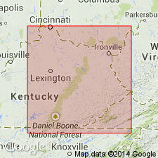
The Rosslyn Member of the Slade Formation, here named, consists of a basal conglomerate grading upward to thin-bedded calcarenite lenses interbedded with calcilutite. Strata of the Rosslyn were previously assigned to the Newman Limestone which is here excluded from the Cumberland Escarpment area of KY. The Rosslyn is restricted to central Powell and southern Montgomery Cos. Disconformably overlies the Cave Branch Bed; grades upward into the Tygarts Creek Member of the Slade. Thickness ranges from 0 to 2 m. Age is Late Mississippian.
Source: GNU records (USGS DDS-6; Reston GNULEX).
For more information, please contact Nancy Stamm, Geologic Names Committee Secretary.
Asterisk (*) indicates published by U.S. Geological Survey authors.
"No current usage" (†) implies that a name has been abandoned or has fallen into disuse. Former usage and, if known, replacement name given in parentheses ( ).
Slash (/) indicates name conflicts with nomenclatural guidelines (CSN, 1933; ACSN, 1961, 1970; NACSN, 1983, 2005, 2021). May be explained within brackets ([ ]).

