- Usage in publication:
-
- Rose Canyon shale [member]
- Modifications:
-
- Named
- Dominant lithology:
-
- Shale
- AAPG geologic province:
-
- Peninsular Ranges province
Summary:
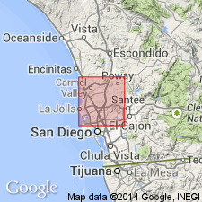
Named as upper division [member] of La Jolla formation (new) for exposures at big bend in Rose Canyon, La Jolla quad, San Diego Co, CA. Outcrops in west central part of quad especially between Los Penasquitos and Tecolote creeks. Consists of mudstones, gray shales, fine sands, conglomerates and few thin beds of limestone. Sandstones are usually fine-grained and vary from light to dark brown. Lower part is cross-bedded. Thickness is about 300 feet. Grades into underlying Torrey sand [member] (new) of La Jolla formation. In north-central part of quad, rests with marked angular unconformity on Black Mountain volcanics (new). Disconformably underlies Poway conglomerate. Contains brackish water fauna. Shown on geologic map of La Jolla quad. Age is Eocene.
Source: GNU records (USGS DDS-6; Menlo GNULEX).

- Usage in publication:
-
- Rose Canyon formation
- Modifications:
-
- Revised
- AAPG geologic province:
-
- Peninsular Ranges province
Summary:
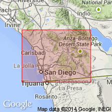
Extensive and yet unnamed unit with 3 members is recognized between Rose Canyon formation and Poway formation. These unnamed Eocene sandstones and mudstones have been previously mapped or considered as part of "Rose Canyon shale", "Poway conglomerate", or San Diego formation. In detailed columnar section, Rose Canyon formation is divided into 6 informal members (ascending): mudstone-sandstone member (0-250 ft thick), lower siltstone member (0-200 ft), lower conglomerate-sandstone tongue (0-500+ ft), cross-stratified siltstone-sandstone lens (0-170 ft), upper rhyolitic conglomerate tongue (0-150 ft), and upper siltstone member (0-600 ft). Overlies Torrey sandstone. Unconformably underlies unnamed unit. Age is Eocene (Ulatisian).
Source: GNU records (USGS DDS-6; Menlo GNULEX).

- Usage in publication:
-
- Rose Canyon Shale Member†
- Modifications:
-
- Abandoned
- AAPG geologic province:
-
- Peninsular Ranges province
Summary:
Rose Canyon Shale Member of La Jolla Formation of Hanna (1926) is abandoned. Rocks now included in Mount Soledad Formation, Ardath Shale, Scripps Formation, and Friars Formation of La Jolla Group.
Source: GNU records (USGS DDS-6; Menlo GNULEX).
For more information, please contact Nancy Stamm, Geologic Names Committee Secretary.
Asterisk (*) indicates published by U.S. Geological Survey authors.
"No current usage" (†) implies that a name has been abandoned or has fallen into disuse. Former usage and, if known, replacement name given in parentheses ( ).
Slash (/) indicates name conflicts with nomenclatural guidelines (CSN, 1933; ACSN, 1961, 1970; NACSN, 1983, 2005, 2021). May be explained within brackets ([ ]).

