- Usage in publication:
-
- Riverton formation
- Riverton cyclothem (informal)
- Modifications:
-
- Original reference
- Dominant lithology:
-
- Shale
- Sandstone
- Underclay
- Coal
- AAPG geologic province:
-
- Cherokee basin
Summary:
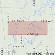
Pg. 18, 20, 21; 1938, Kansas Acad. Sci. Trans., v. 41, p. 193, 196. Riverton formation (cyclothem) of Cherokee group. Cherokee group is divided into 15 cyclic formational units. Riverton, first in the sequence (ascending), occurs below the Neutral formation (cyclothem) and unconformably overlies eroded surface of the Mississippian. Average thickness 38 feet. Includes Riverton coal, 3 to 10 inches thick. Age is Middle Pennsylvanian (Des Moines). [For complete sequence see Cherokee group entry.]
Source: US geologic names lexicon (USGS Bull. 1200, p. 3292).

- Usage in publication:
-
- Riverton formation
- Modifications:
-
- Overview
Summary:
Pg. 2748 (fig. 1). Shown on northern Midcontinent composite stratigraphic section as Riverton formation of Krebs group. Underlies Warner formation. Age is Middle Pennsylvanian (Des Moines).
Source: US geologic names lexicon (USGS Bull. 1200, p. 3292).

- Usage in publication:
-
- Riverton formation
- Modifications:
-
- Areal extent
- AAPG geologic province:
-
- Ozark uplift
Summary:
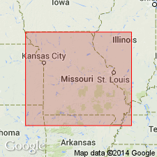
Pg. 10-11. Riverton formation of Krebs group. In Jasper County, Missouri, formation is about 17 feet thick. Underlies Warner formation and overlies Boone chert. Krebs group. Age is Middle Pennsylvanian (Des Moines). Origin of name given.
Named from Riverton coal in Cherokee Co., southwestern KS.
Source: US geologic names lexicon (USGS Bull. 1200, p. 3292).

- Usage in publication:
-
- Riverton formation
- Modifications:
-
- Areal extent
- AAPG geologic province:
-
- Cherokee basin
- Forest City basin
Summary:
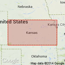
Riverton formation. Described in southeastern Kansas as formation in Krebs subgroup [informal] of Cherokee group. Thickness 10 to 20 feet; average 15 feet. Consists of a basal shale 4 or 5 feet thick, an underclay 2 to 4 feet thick and Riverton coal. Overlies leached chert rubble derived from underlying Mississippian rocks. As presently defined, it is in part equivalent to McCurtain shale of eastern Oklahoma. Age is Middle Pennsylvanian (Des Moines).
["Subgroup" not recognized as a formal stratigraphic rank term (CSN, 1933; ACSN, 1961, 1970; NACSN, 1983, 2005, 2021). Considered informal and should not be capitalized.]
Source: US geologic names lexicon (USGS Bull. 1200, p. 3292).
For more information, please contact Nancy Stamm, Geologic Names Committee Secretary.
Asterisk (*) indicates published by U.S. Geological Survey authors.
"No current usage" (†) implies that a name has been abandoned or has fallen into disuse. Former usage and, if known, replacement name given in parentheses ( ).
Slash (/) indicates name conflicts with nomenclatural guidelines (CSN, 1933; ACSN, 1961, 1970; NACSN, 1983, 2005, 2021). May be explained within brackets ([ ]).

