- Usage in publication:
-
- Rio Blanco†
- Modifications:
-
- Abandoned
Summary:
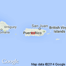
Hubbard's typical exposures of the "Rio Blanco", as well as most of the modern Rio Blanco River, are in the area of rock probably at least in part correlative with the Anon. It is here suggested that the name Rio Blanco be abandoned in favor of Lago Garzo, Anon, or other names as appropriate.
Source: GNU records (USGS DDS-6; Reston GNULEX).

- Usage in publication:
-
- Rio Blanco Formation*
- Modifications:
-
- Reinstated
Summary:
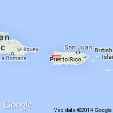
Rio Blanco Formation is here adopted for rocks that form a major part of the Rio Blanco Series of Hubbard (1923). Consists of massive tuff breccia containing blocks of basalt and pyroxene or hornblende andesite. Deeply weathered to red or purple saprolite. Limestone exposures found in Maricao quadrangle to south contain fossils. Is in fault contact with older Yauco Mudstone and Maricao Basalt and younger Tertiary formations. Age is Campanian-Maastrichtian based on fossils.
Source: GNU records (USGS DDS-6; Reston GNULEX).

- Usage in publication:
-
- Rio Blanco†
- Modifications:
-
- Abandoned
Summary:
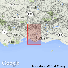
The Rio Blanco Formation is abandoned because the interbedded sequence of Cretaceous and Tertiary rocks mapped as Rio Blanco in the Penuelas quadrangle includes lithofacies of the Yauco and Lago Garzas Formations which are sufficiently different to map separately in most areas.
Source: GNU records (USGS DDS-6; Reston GNULEX).
For more information, please contact Nancy Stamm, Geologic Names Committee Secretary.
Asterisk (*) indicates published by U.S. Geological Survey authors.
"No current usage" (†) implies that a name has been abandoned or has fallen into disuse. Former usage and, if known, replacement name given in parentheses ( ).
Slash (/) indicates name conflicts with nomenclatural guidelines (CSN, 1933; ACSN, 1961, 1970; NACSN, 1983, 2005, 2021). May be explained within brackets ([ ]).

