The National Geologic Map Database is migrating to a new infrastructure. We apologize for any service disruptions during this process.
|
|---|


- Usage in publication:
-
- Ridgepole Mountain Formation
- Modifications:
-
- Named
- Dominant lithology:
-
- Schist
- Quartzite
- Metasandstone
- AAPG geologic province:
-
- Piedmont-Blue Ridge province
Summary:
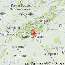
Ridgepole Mountain Formation of Coweeta Group (new) formally named in Macon Co., western NC. Extends southward into GA. Consists of biotite garnet schist and quartzite, interlayered with pelitic schist and garnetiferous metasandstone. Overlies Coleman River Formation of Coweeta. Upper contact not observed as top is eroded. Age is Late Proterozoic.
Source: GNU records (USGS DDS-6; Reston GNULEX).
- Usage in publication:
-
- Ridgepole Mountain Formation
- Modifications:
-
- Revised
- Age modified
- AAPG geologic province:
-
- Piedmont-Blue Ridge province
Summary:
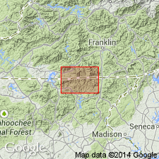
Coweeta Group and its Persimmon Creek Gneiss, Coleman River Formation, and Ridgepole Mountain Formation are used informally in this report (local usage of Hatcher, 1979). Age changed from Late Proterozoic to Late Proterozoic and early Paleozoic. All formations are found in Richard Russell thrust sheet, east of Shope Fork fault.
Source: GNU records (USGS DDS-6; Reston GNULEX).
- Usage in publication:
-
- Ridgepole Mountain Formation*
- Modifications:
-
- Overview
- AAPG geologic province:
-
- Piedmont-Blue Ridge province
Summary:
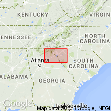
Rocks mapped as irregularly interlayered and commonly well-foliated biotite-garnet schist, mica schist, quartzofeldspathic gneiss, and locally muscovitic quartzite of the Richard Russell Formation probably correlate with Ridgepole Mountain Formation of Hatcher (1979) in NC.
Source: GNU records (USGS DDS-6; Reston GNULEX).
For more information, please contact Nancy Stamm, Geologic Names Committee Secretary.
Asterisk (*) indicates published by U.S. Geological Survey authors.
"No current usage" (†) implies that a name has been abandoned or has fallen into disuse. Former usage and, if known, replacement name given in parentheses ( ).
Slash (/) indicates name conflicts with nomenclatural guidelines (CSN, 1933; ACSN, 1961, 1970; NACSN, 1983, 2005, 2021). May be explained within brackets ([ ]).