- Usage in publication:
-
- Ricker bed
- Modifications:
-
- Original reference
- Dominant lithology:
-
- Sandstone
- Conglomerate
- Clay
- AAPG geologic province:
-
- Bend arch
Summary:
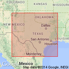
Pg. 374, 386. Ricker bed in Strawn division. Sandstone and conglomerate, 50 to 200 feet thick, with 25 to 75 feet of sandy clay at top; usually of bluish color, though purple or yellowish clays occur. Top member of Strawn division [Strawn is 2nd from base of 5 Carboniferous divisions of Cummins, 1891]. Overlies Indian Creek bed and underlies Canyon division. Age is Pennsylvanian.
[Named from Ricker post office, near Brownwood, Brown Co., Colorado River region, central TX.]
Source: US geologic names lexicons (USGS Bull. 896, p. 1811; USGS Bull. 1200, p. 3265-3266).

- Usage in publication:
-
- Ricker sandstone member
- Modifications:
-
- Revised
- Overview
- AAPG geologic province:
-
- Bend arch
Summary:
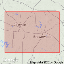
Revised--assigned as a sandstone member of Mineral Wells formation (revised), which is the upper formation of Strawn group. Report area is Brown and Coleman Cos, TX on Bend arch. The Ricker is composed of sandstone and conglomerate, and is undoubtedly an unconformable deposit laid down after one of the periods of erosion that were so frequent in Pennsylvanian time in this region. Ricker is shown at base of section measured at Brownwood, Brown Co; corresponds closely in position with a sandstone bed in the section measured by R. T. Hill 10 mi farther north. However, toward the south the conglomerate bed at the mouth of Clear Creek (bed 13 of section measured at Winchell, Brown Co, near Colorado River)--identified by Drake (1893) as the Ricker--seems to be considerably higher in the section. Although Drake considered the sandstones and conglomerates of the Winchell section to be the equivalent of his Ricker bed of the Brownwood area, it would seem more plausible to correlate then in part with the zone of conglomeratic beds of the Brownwood section. The area south of the Colorado River was not examined, but it seems not unlikely that the upper part of the coarsely clastic beds in the Winchell section is more or less contemporaneous with the Rochelle conglomerate of Drake, whose principal outcrops are to the south. Measured sections. Pennsylvanian age.
Source: GNU records (USGS DDS-6; Denver GNULEX).

- Usage in publication:
-
- Ricker bed
- Modifications:
-
- Areal extent
- AAPG geologic province:
-
- Fort Worth syncline
Summary:
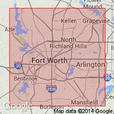
Ricker bed (also called Ricker sandstone member) in Lone Camp group, Strawn series. Sandstone and conglomerate. Thickness 50 to 200 feet. Overlies Indian Creek bed. [Age is Pennsylvanian; age of Strawn not discussed.]
[Report area in Parker County, central Texas.]
Source: Modified from GNU records (USGS DDS-6; Denver GNULEX).
For more information, please contact Nancy Stamm, Geologic Names Committee Secretary.
Asterisk (*) indicates published by U.S. Geological Survey authors.
"No current usage" (†) implies that a name has been abandoned or has fallen into disuse. Former usage and, if known, replacement name given in parentheses ( ).
Slash (/) indicates name conflicts with nomenclatural guidelines (CSN, 1933; ACSN, 1961, 1970; NACSN, 1983, 2005, 2021). May be explained within brackets ([ ]).

