The National Geologic Map Database is migrating to a new infrastructure. We apologize for any service disruptions during this process.
|
|---|


- Usage in publication:
-
- Reynales limestone
- Modifications:
-
- Named
- Dominant lithology:
-
- Limestone
- AAPG geologic province:
-
- Appalachian basin
Summary:
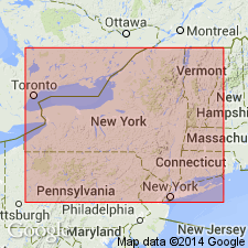
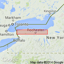
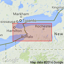
Named for Reynales Basin, 8 mi east of Lockport, Niagara Co., NY. Contains a very definite fauna that connotes a new unit. Article has no detailed description of lithology. Overlies Furnaceville iron ore; underlies Sterling Station iron ore and Sodus shale.
Source: GNU records (USGS DDS-6; Reston GNULEX).
- Usage in publication:
-
- Reynales Limestone
- Modifications:
-
- Revised
- Overview
- AAPG geologic province:
-
- Appalachian basin
Summary:
The Reynales is a heterolithic unit of interbedded brachiopod- and crinoid-rich grain- and packstones, argillaceous and pelletal wacke- and packstones, nodular wackestones, and greenish to gray shales. Originally named PENTAMERUS limestone by Hall (1843). At the type section, consists of only the Hickory Corners Member, a term authors feel is unnecessary. Eastward, at Genesee Gorge, where the Reynales is 6.5 m thick, it is subdivided into (ascending) the Budd Road Bed (new), the Brewer Dock Member, the Seneca Park Bed (new), and the Wallington Member. Further east the Brewer Dock is replaced by the Furnaceville Member (new). Age is debatable. Entire unit apparently belongs to a single ostracode zone that is correlated with a relatively thin interval of the lower part of the Rose Hill Shale in PA. Recent conodont work by M. Kleffner suggests a possible unconformity near the base of the Reynales. Lowest beds of the Reynales and the underlying Neahga or Maplewood Shales or Webster Bed (new) may be Llandoverian C-2 in age, while the overlying beds of the Reynales may be late C-4 to C-5. Authors believe that an unconformity may lie below the Budd Road Bed at the contact with the underlying units and this is shown in the correlation charts of this report. Reynales is capped by the Sterling Station Bed and unconformably(?) underlies the Sodus Shale.
Source: GNU records (USGS DDS-6; Reston GNULEX).
- Usage in publication:
-
- Reynales Limestone*
- Modifications:
-
- Overview
- AAPG geologic province:
-
- Appalachian basin
Summary:
The Reynales Limestone of the Clinton Group in western NY is represented only by the Hickory Corners Member which consists of fossiliferous gray to pink limestone with shale partings. Thickness is 0 to 12 ft. Well exposed along railroad tracks south of intersection with Niagara Road west of Lockport, NY and in the Niagara River gorge south of Artpark, Lewiston, NY. Unconformably overlies the Neahga Shale of the Clinton Group and unconformably underlies the Merritton Limestone of the Clinton Group or the Second Creek Phosphate Bed of the Williamson Shale (Clinton Group). The Reynales is of Early Silurian (Llandoverian) age. [Report uses Early and Late Silurian time scale of Harland and others (1982).]
Source: GNU records (USGS DDS-6; Reston GNULEX).
For more information, please contact Nancy Stamm, Geologic Names Committee Secretary.
Asterisk (*) indicates published by U.S. Geological Survey authors.
"No current usage" (†) implies that a name has been abandoned or has fallen into disuse. Former usage and, if known, replacement name given in parentheses ( ).
Slash (/) indicates name conflicts with nomenclatural guidelines (CSN, 1933; ACSN, 1961, 1970; NACSN, 1983, 2005, 2021). May be explained within brackets ([ ]).