- Usage in publication:
-
- Renwick shale member
- Modifications:
-
- Named
- Dominant lithology:
-
- Shale
- AAPG geologic province:
-
- Appalachian basin
Summary:
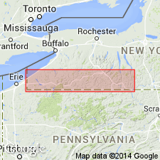
Named Renwick shale member; is basal member of Middlesex shale. Thickness ranges from 8 to 20 feet. Underlies Six Mile shale member and overlies West River and Standish formations in Ithaca, New York, region. Is Middlesex according to Fralich. Has been correlated, erroneously, with Rhinestreet in the past.
Source: Modified from GNU records (USGS DDS-6; Reston GNULEX).

- Usage in publication:
-
- Renwick shale member
- Modifications:
-
- Revised
- AAPG geologic province:
-
- Appalachian basin
Summary:
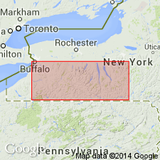
At Cayuga Lake, Sherburne flagstone member of Genesee is overlain by a 5- to 40-ft unit of black and very dark brown shale containing siltstone scour channels. Base of unit is sharply defined, but upper boundary is gradational. This unit of dark shaly rock was informally named Ithaca LINGULA shale by Williams (1906, Science, new ser., v. 24) and was apparently named Renwick shale member of Middlesex shale by Caster (1933). Caster's Renwick was proposed in an abstract, and type area and boundaries were not described. Name Renwick shale member of Genesee formation is herein adopted for stratigraphic unit above Sherburne. Thickness at reference section (herein designated) is 38 ft. Underlies Ithaca member; boundary placed at top of beds of dark-brown shale above which rocks are gray silty shale and thin beds of dark-gray siltstone. Renwick extends westward to vicinity of Keuka Lake where member is present as thin tongue of black shale in middle of Penn Yan shale member.
Source: GNU records (USGS DDS-6; Reston GNULEX).

- Usage in publication:
-
- Renwick Shale Member*
- Modifications:
-
- Overview
- Areal extent
- AAPG geologic province:
-
- Appalachian basin
Summary:
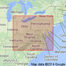
Renwick Shale Member of Genesee Formation is a thin black shale, less extensive than the Geneseo Shale Member. It occurs about 280 to 310 ft above the top of the Geneseo near Ithaca, NY. Consists of grayish-black shale that grades vertically into very dark olive gray shale. Contains scour channels filled with medium-gray siltstone. Unit is 36 ft thick at type section and grades laterally into a sequence of fossiliferous medium- to dark-gray shale and siltstone in eastern Cayuga Co. Thins westward and intertongues with Penn Yan Shale Member. Recognizable in subsurface of southern NY and western PA. In southwestern PA, WV, and OH, merges into black shale that overlies the Tully.
Source: GNU records (USGS DDS-6; Reston GNULEX).
For more information, please contact Nancy Stamm, Geologic Names Committee Secretary.
Asterisk (*) indicates published by U.S. Geological Survey authors.
"No current usage" (†) implies that a name has been abandoned or has fallen into disuse. Former usage and, if known, replacement name given in parentheses ( ).
Slash (/) indicates name conflicts with nomenclatural guidelines (CSN, 1933; ACSN, 1961, 1970; NACSN, 1983, 2005, 2021). May be explained within brackets ([ ]).

